Down the East Coast

_DSC6134

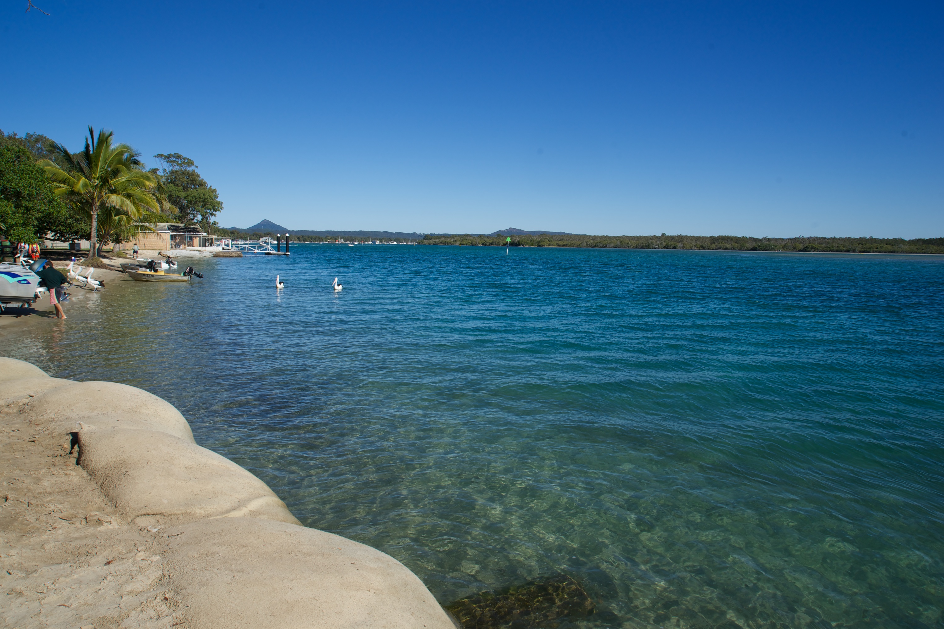
Our old family camp spot at Munna Point on the Noosa River. Sadly there are now sandbags where there once was a great little beach.

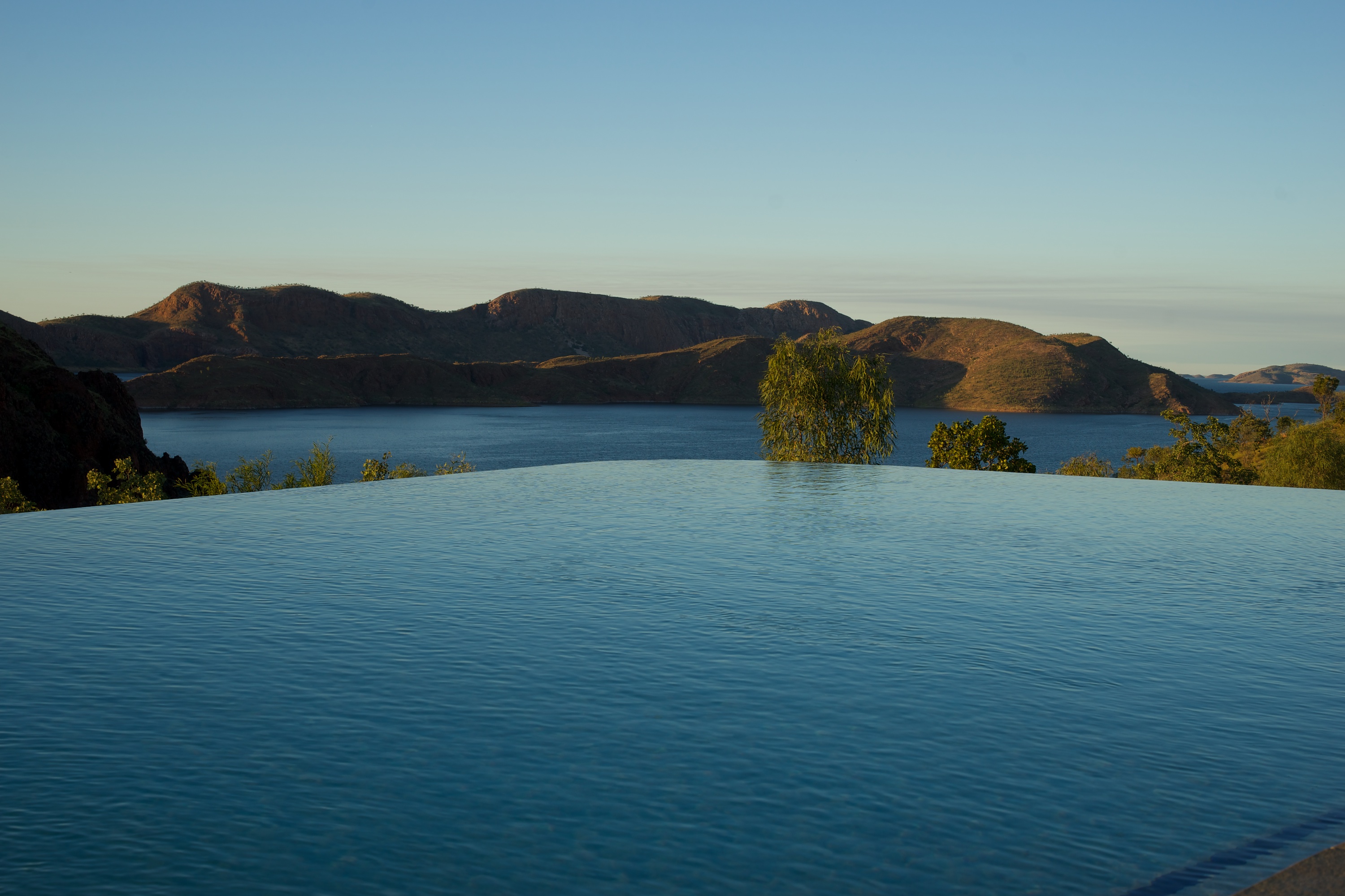
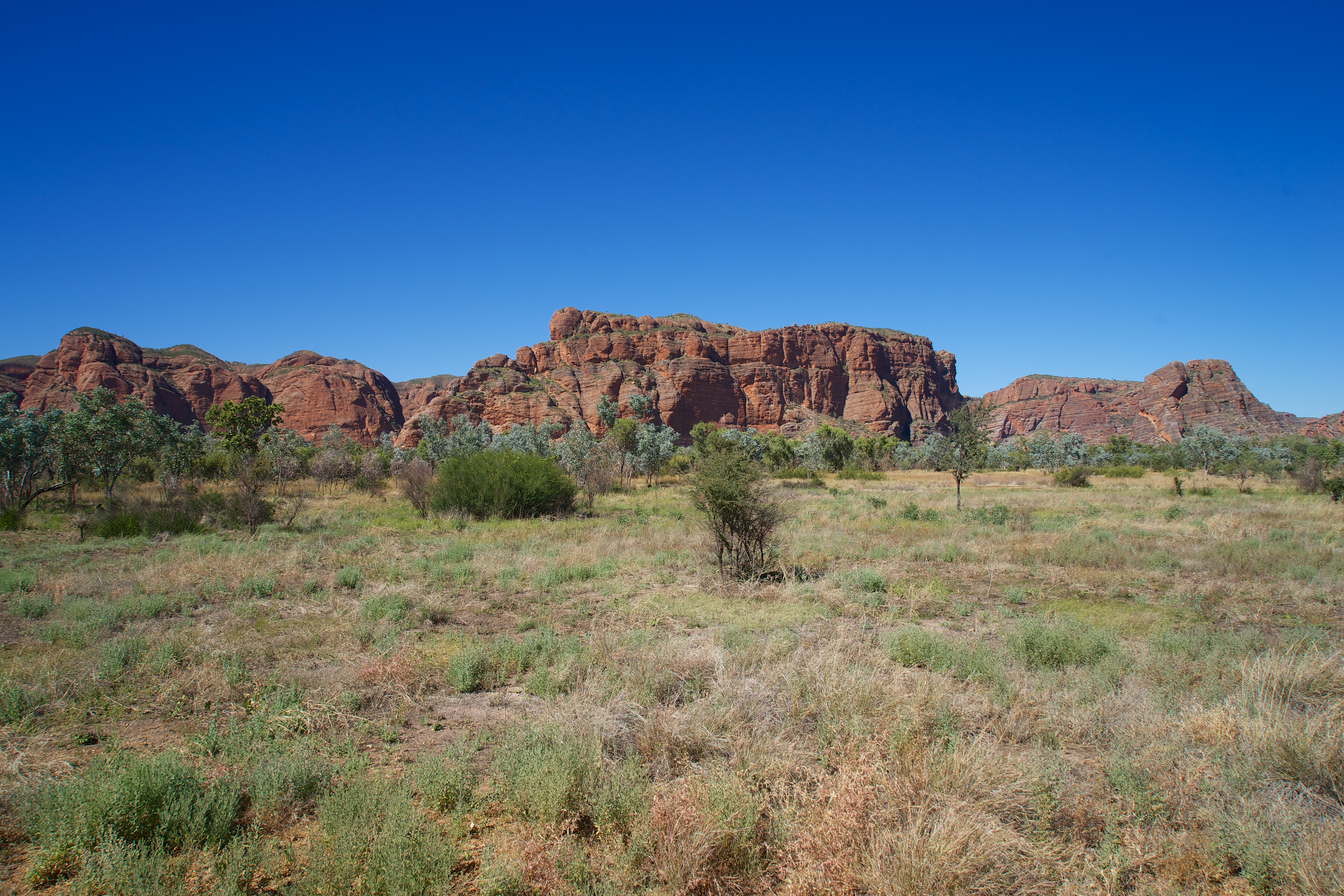
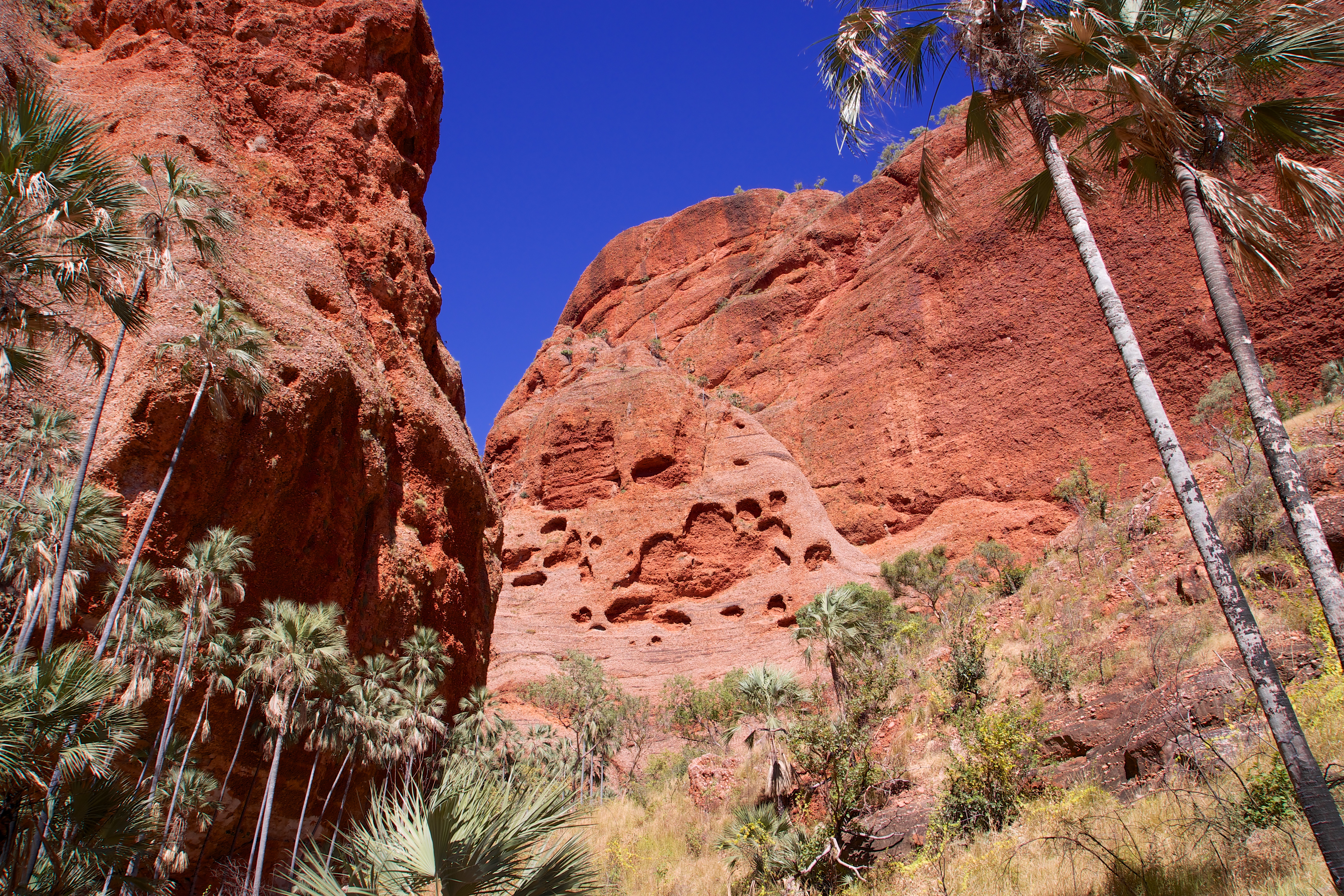
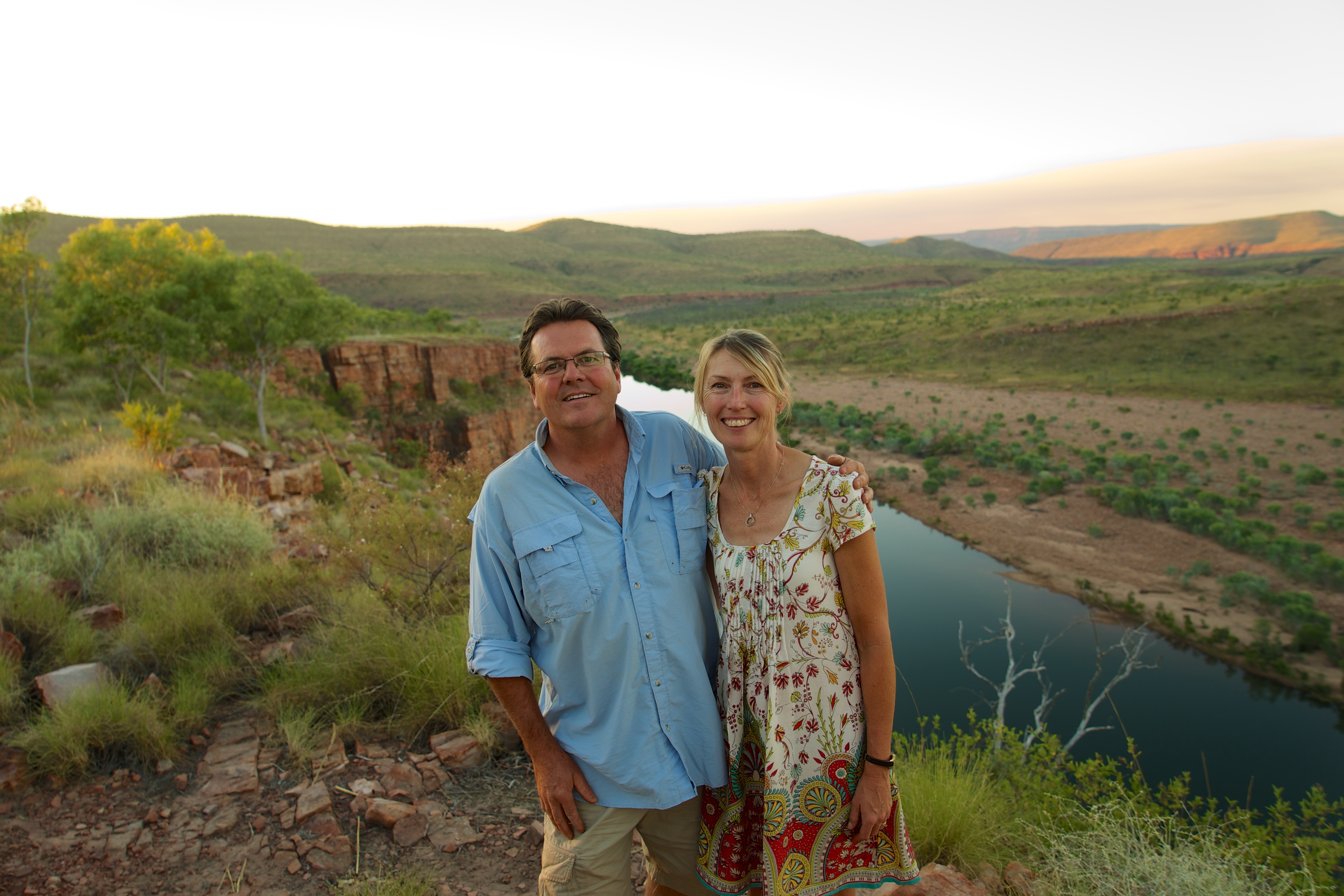
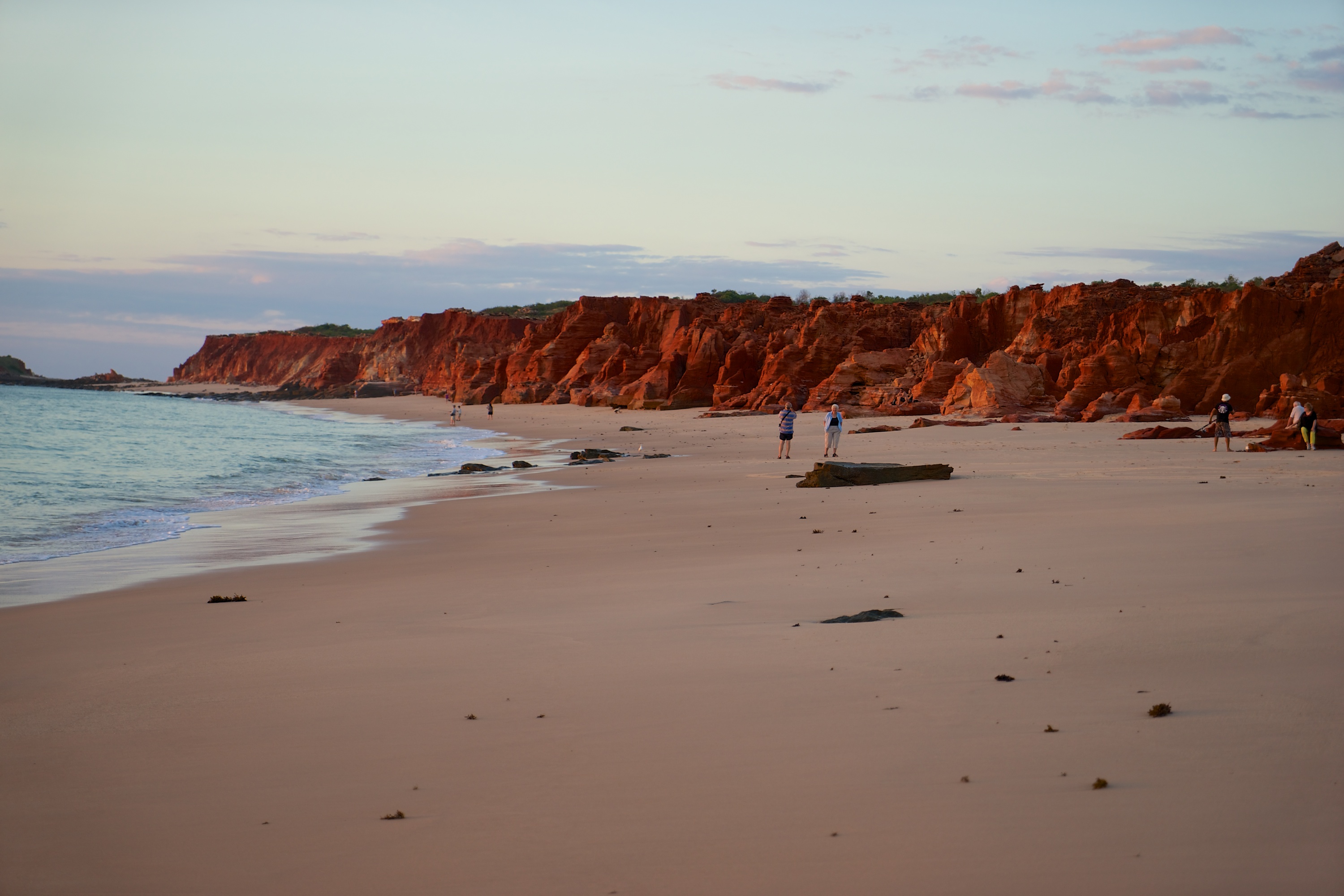
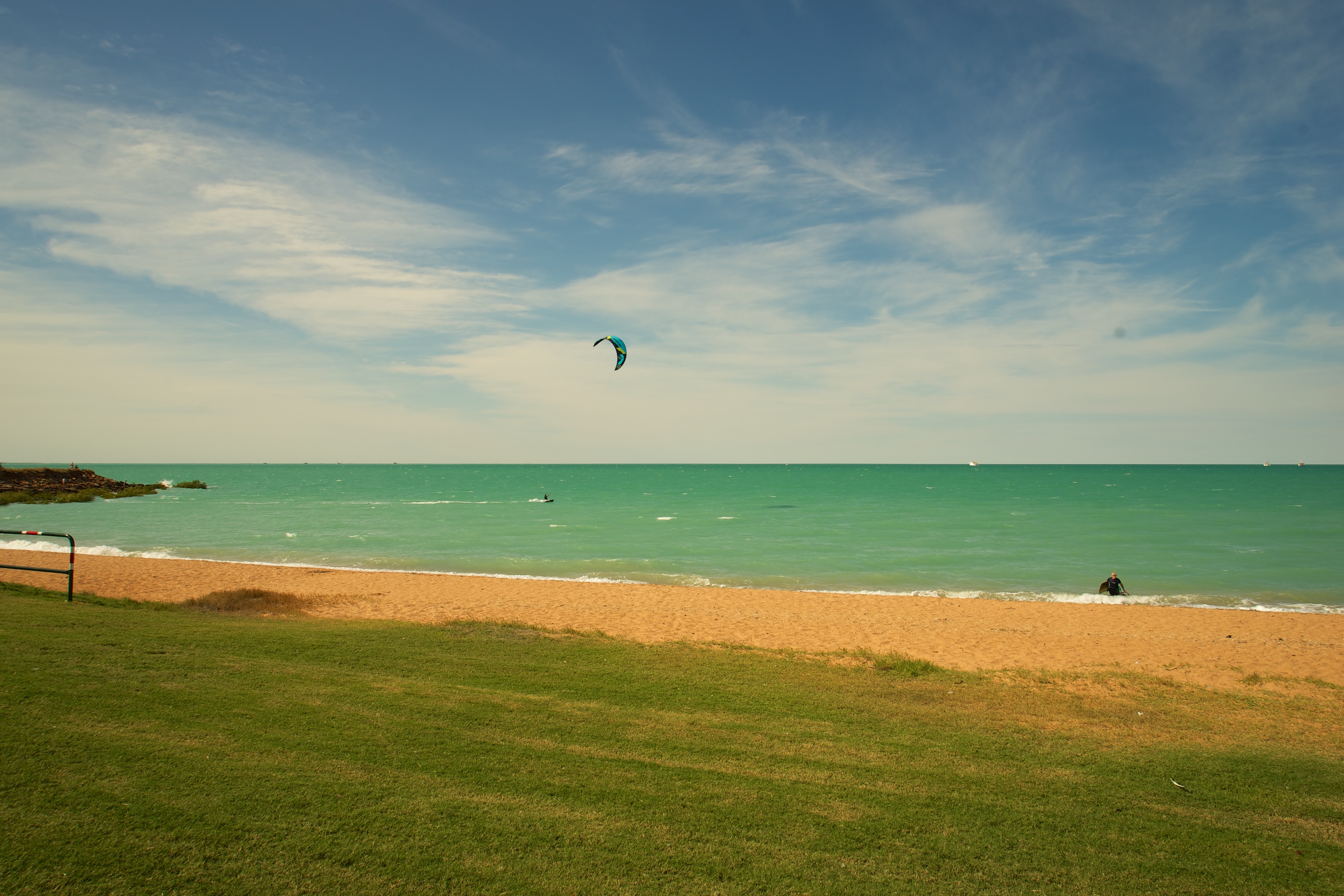
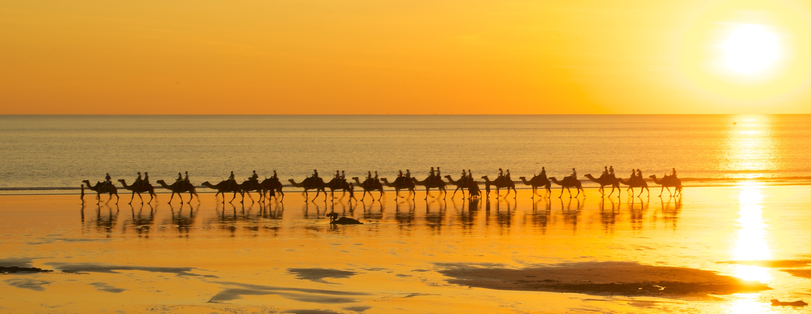
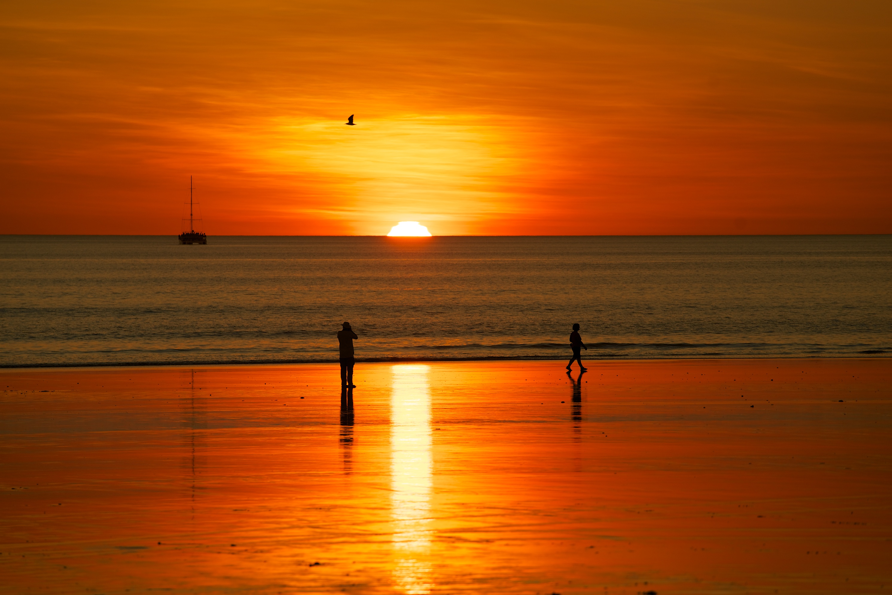
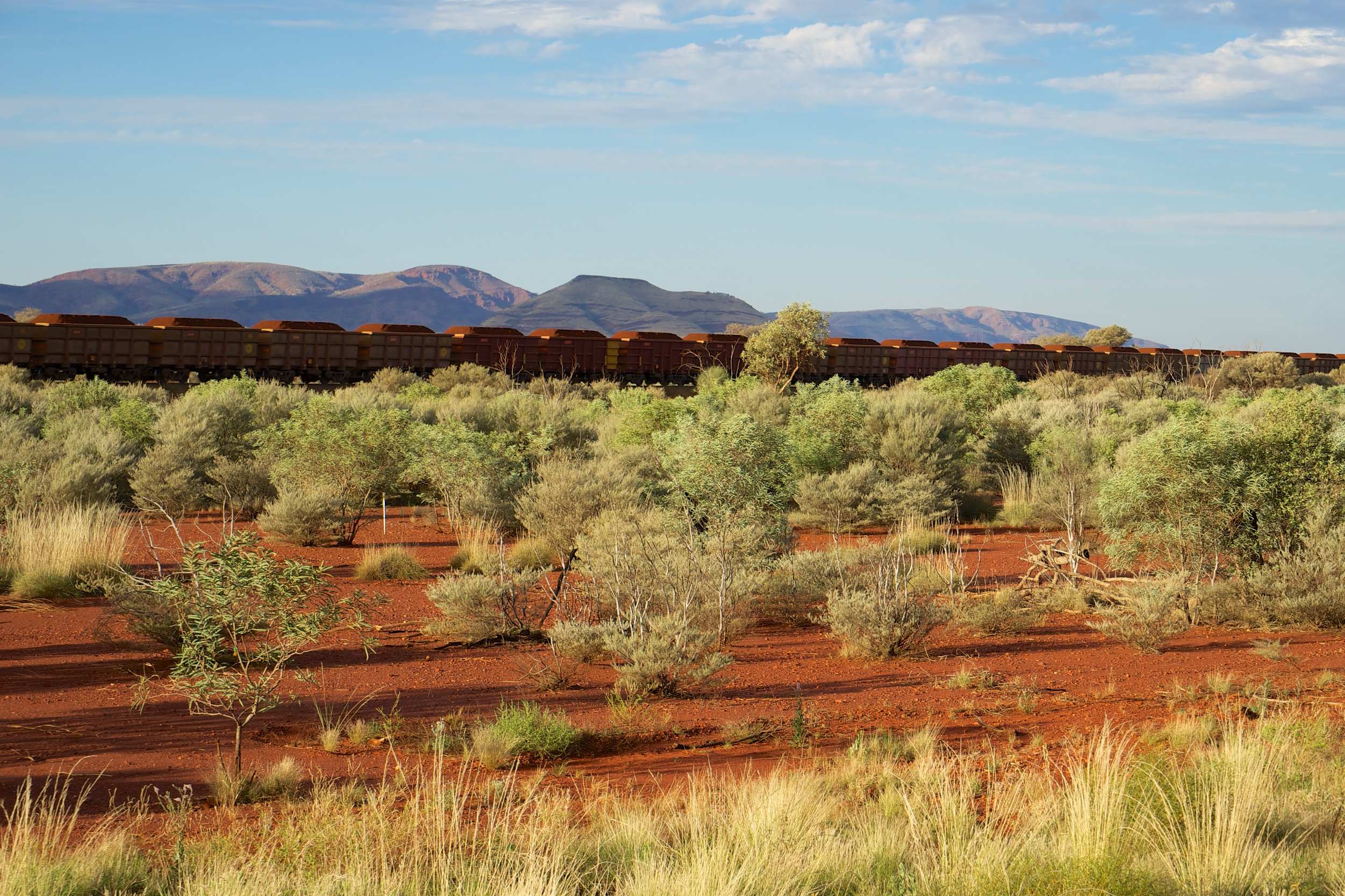
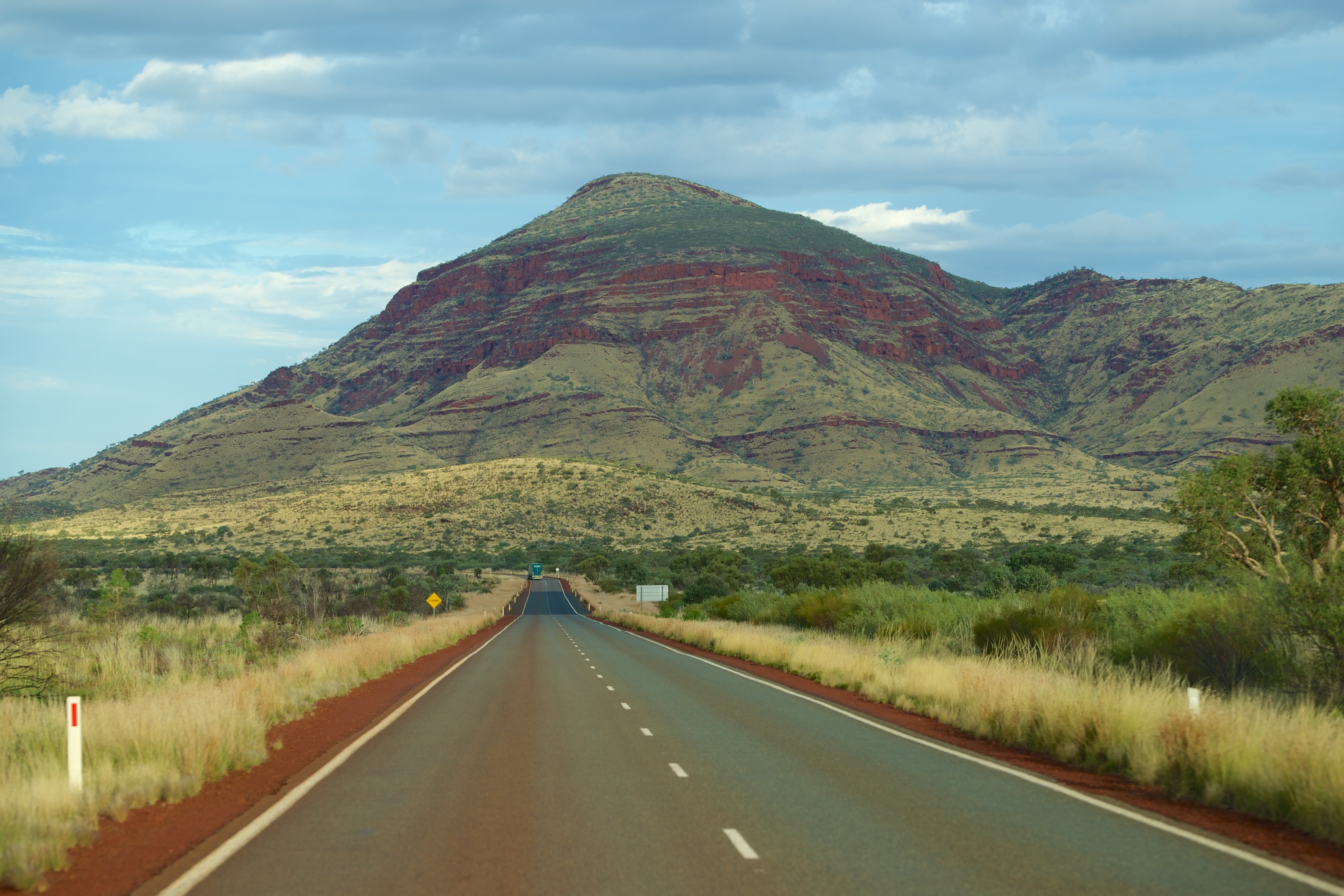
The East Coast of Australia is stunning, but there is hardly a square kilometre that isn’t developed and populated. The West Coast, by comparison, has vast sections where it is possible to feel like you are the only person there! Whilst we enjoyed the east again, we pined a little for the west.

_DSC6142

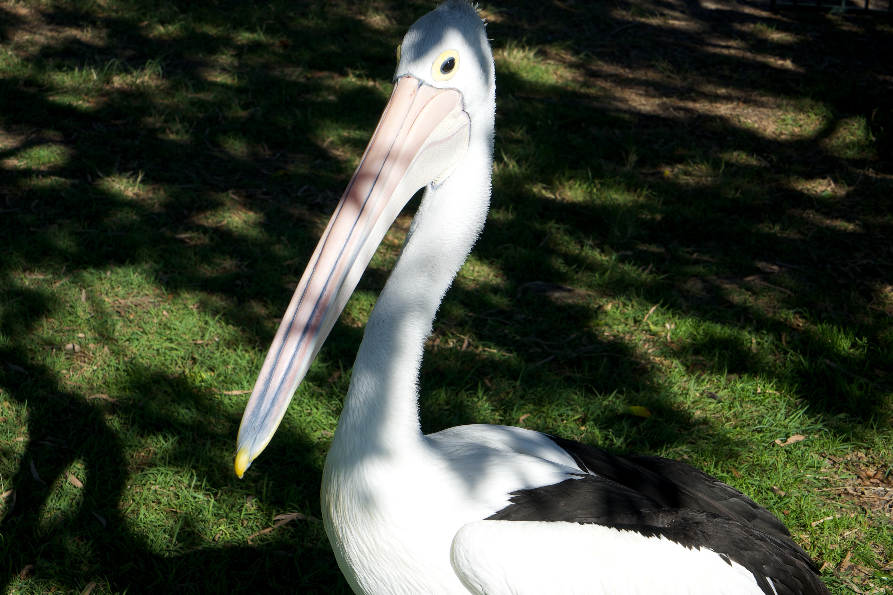
Curious to the point of obnoxious… Pelicans at the fish cleaning station.

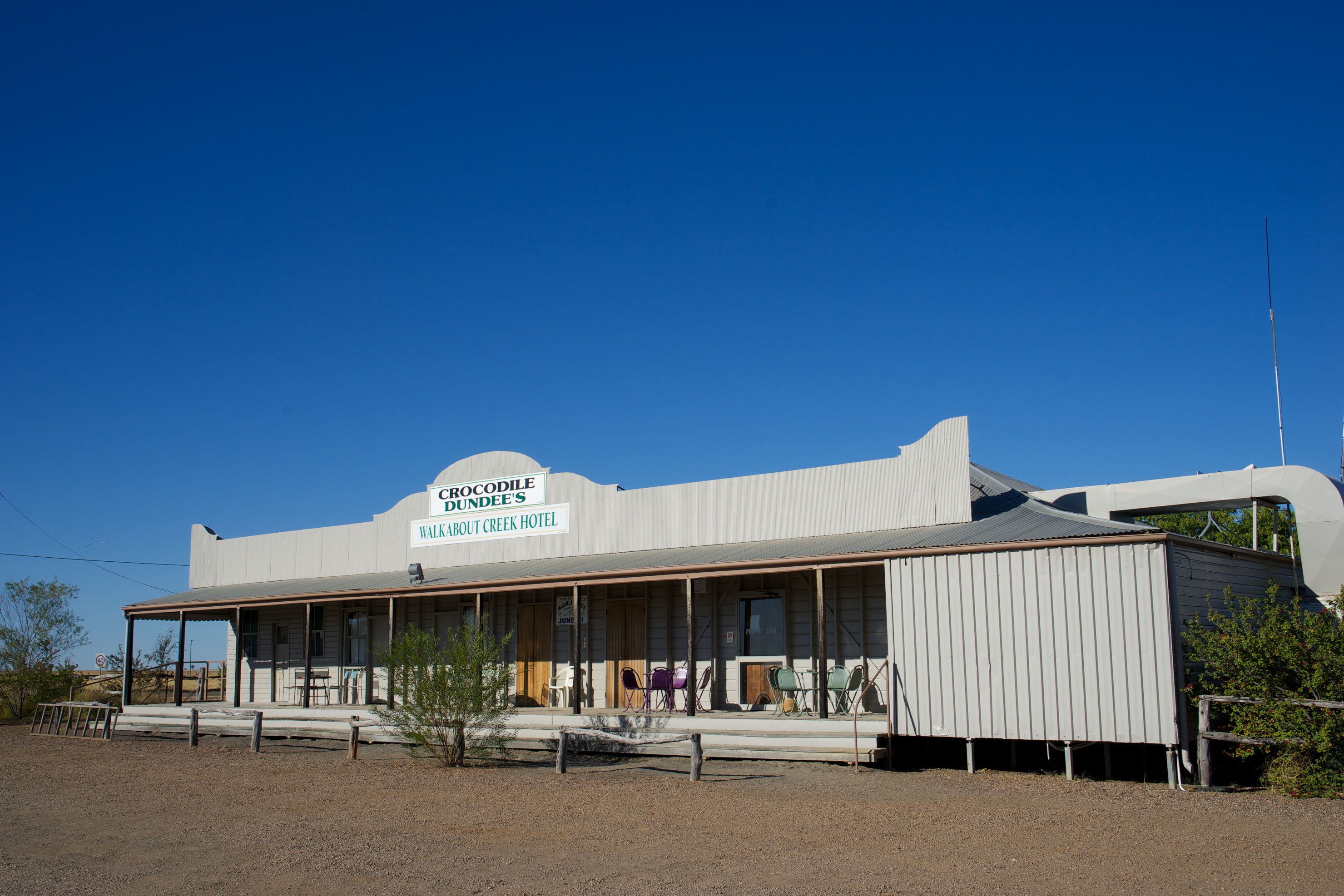
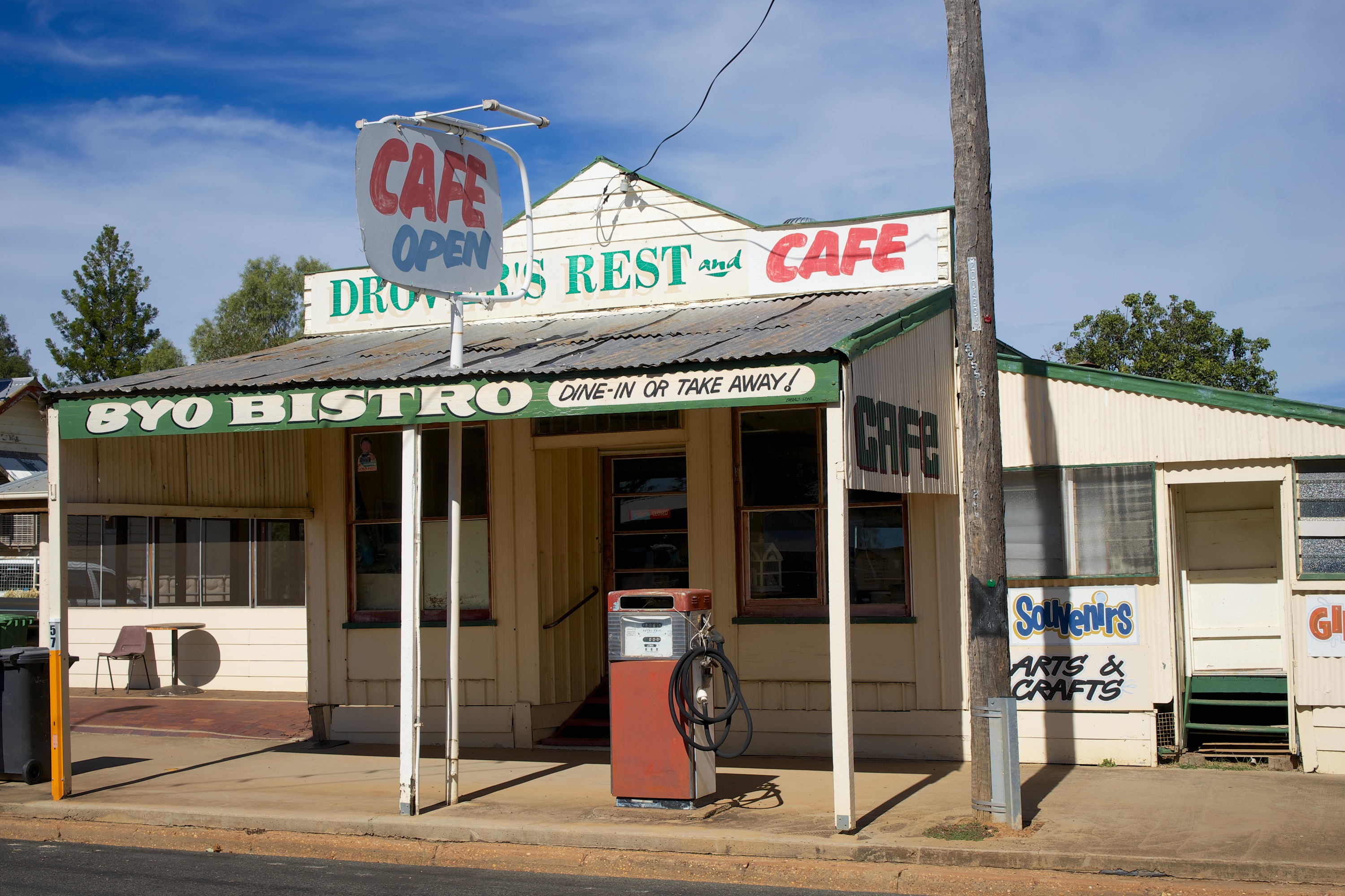
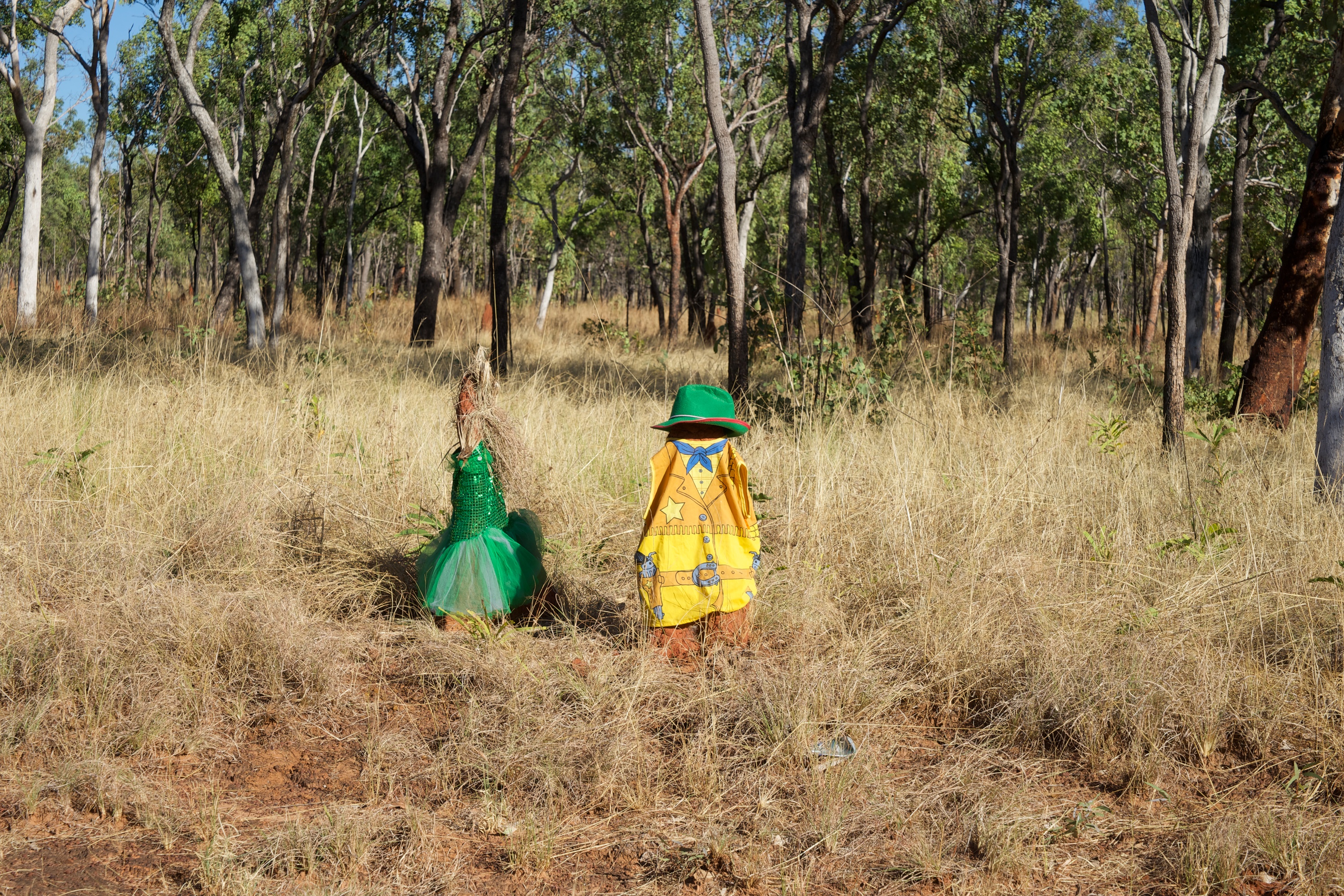
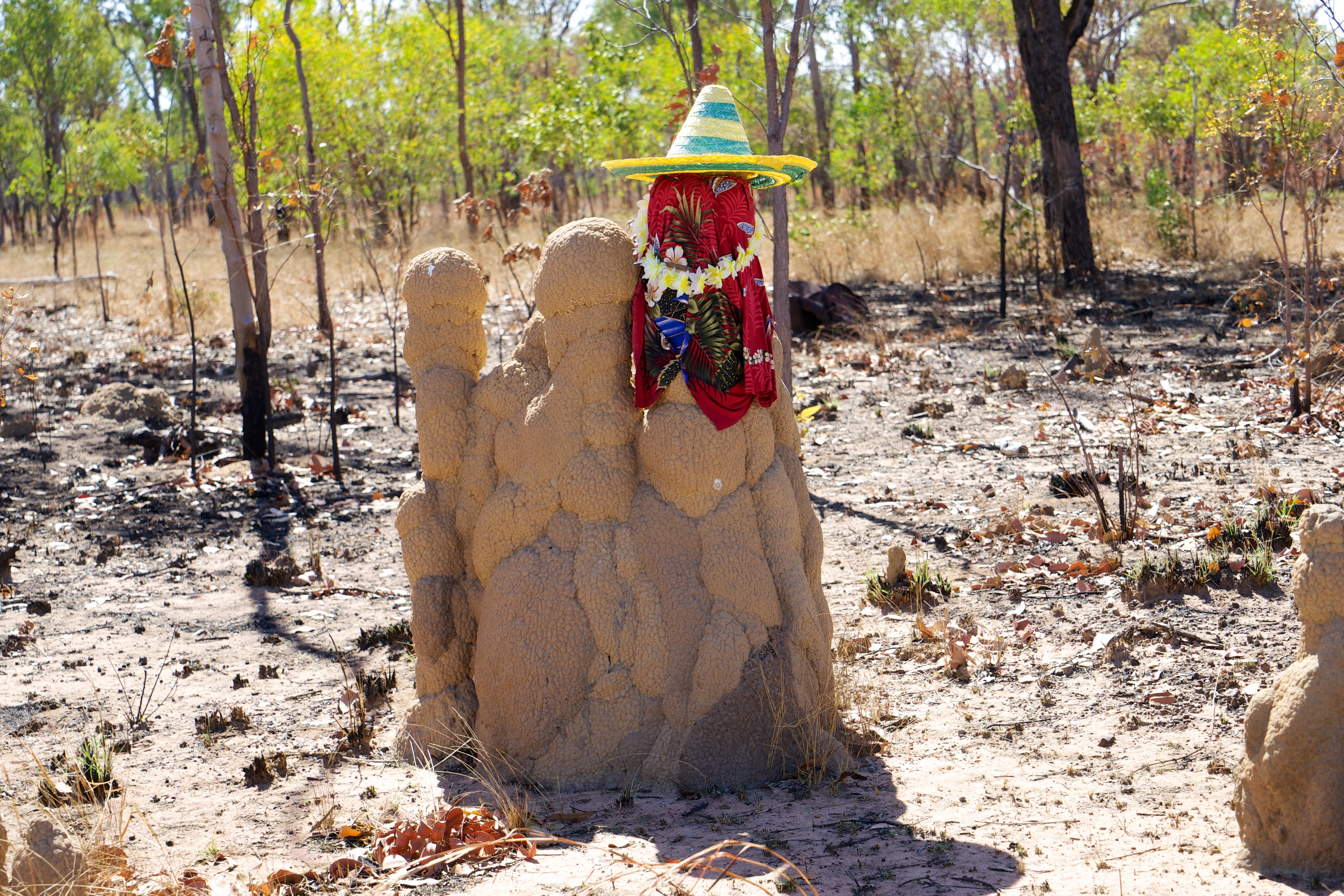
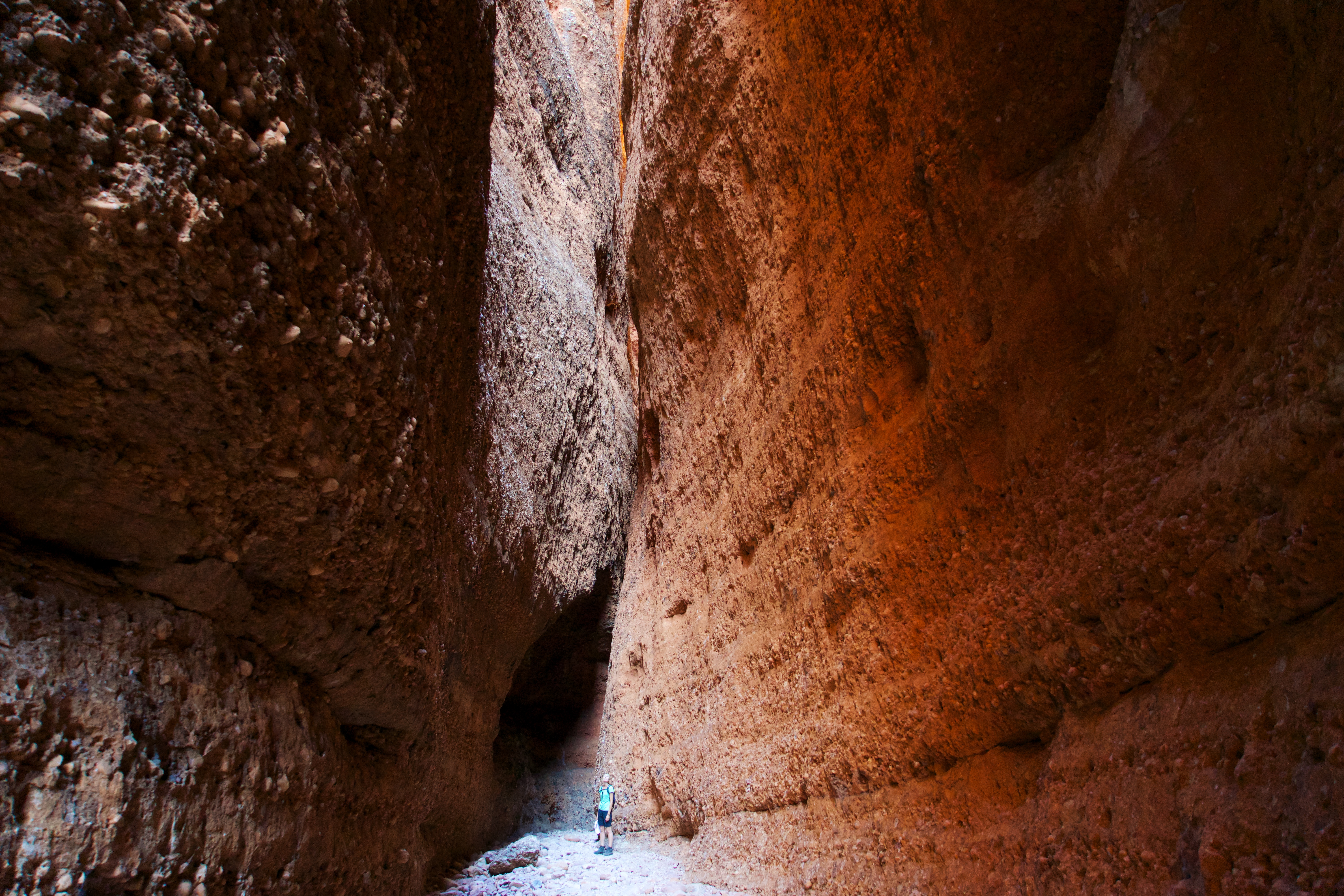
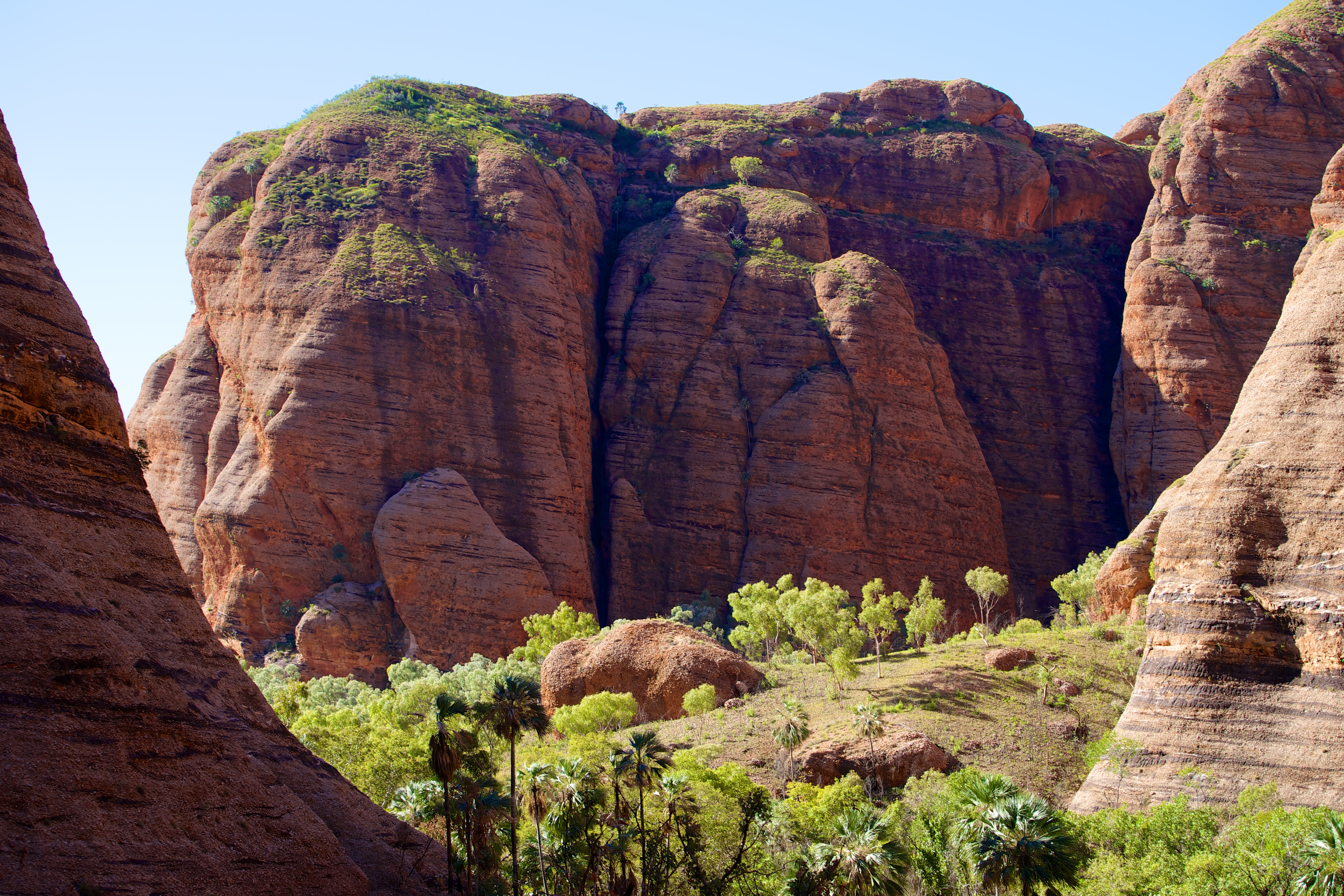
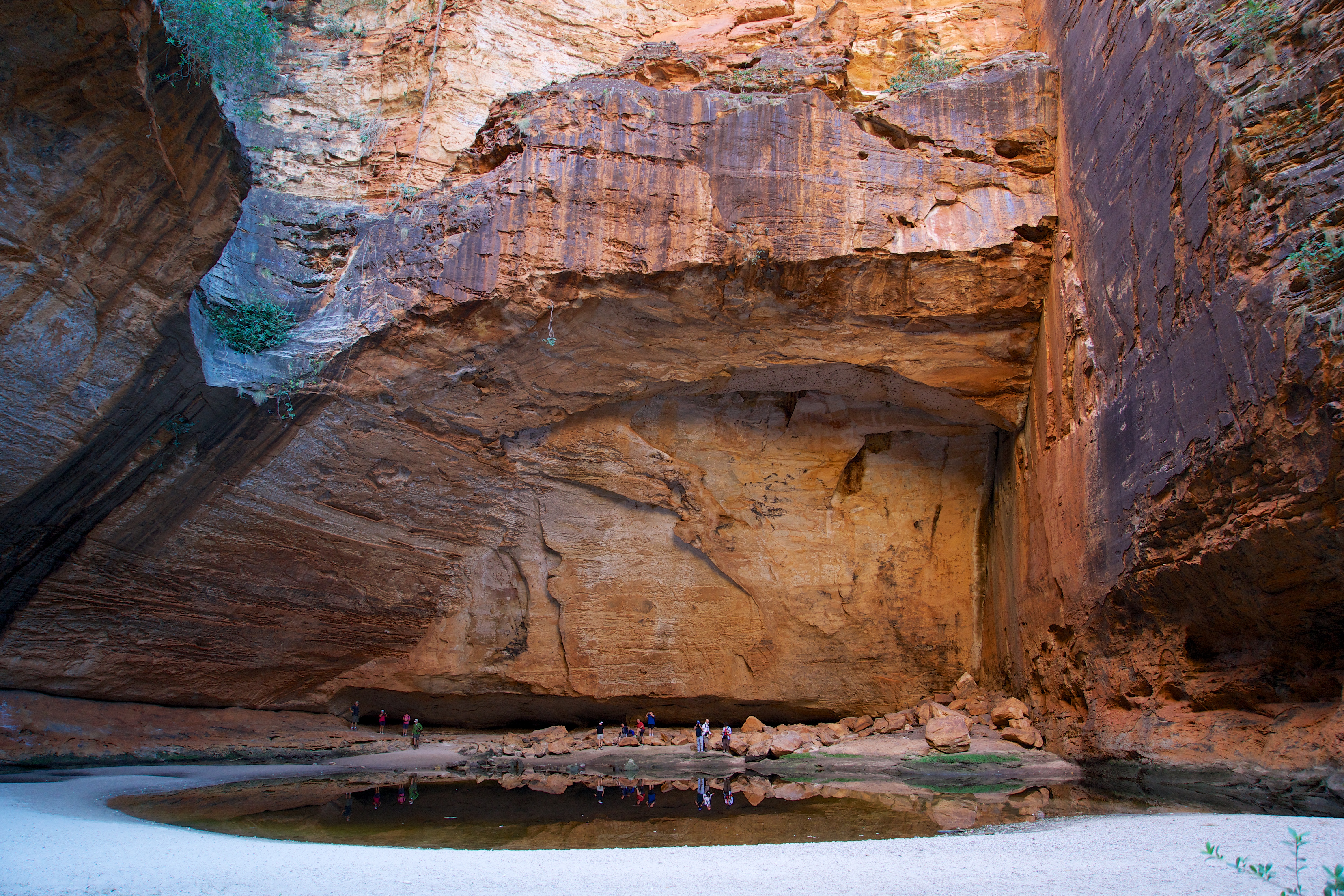
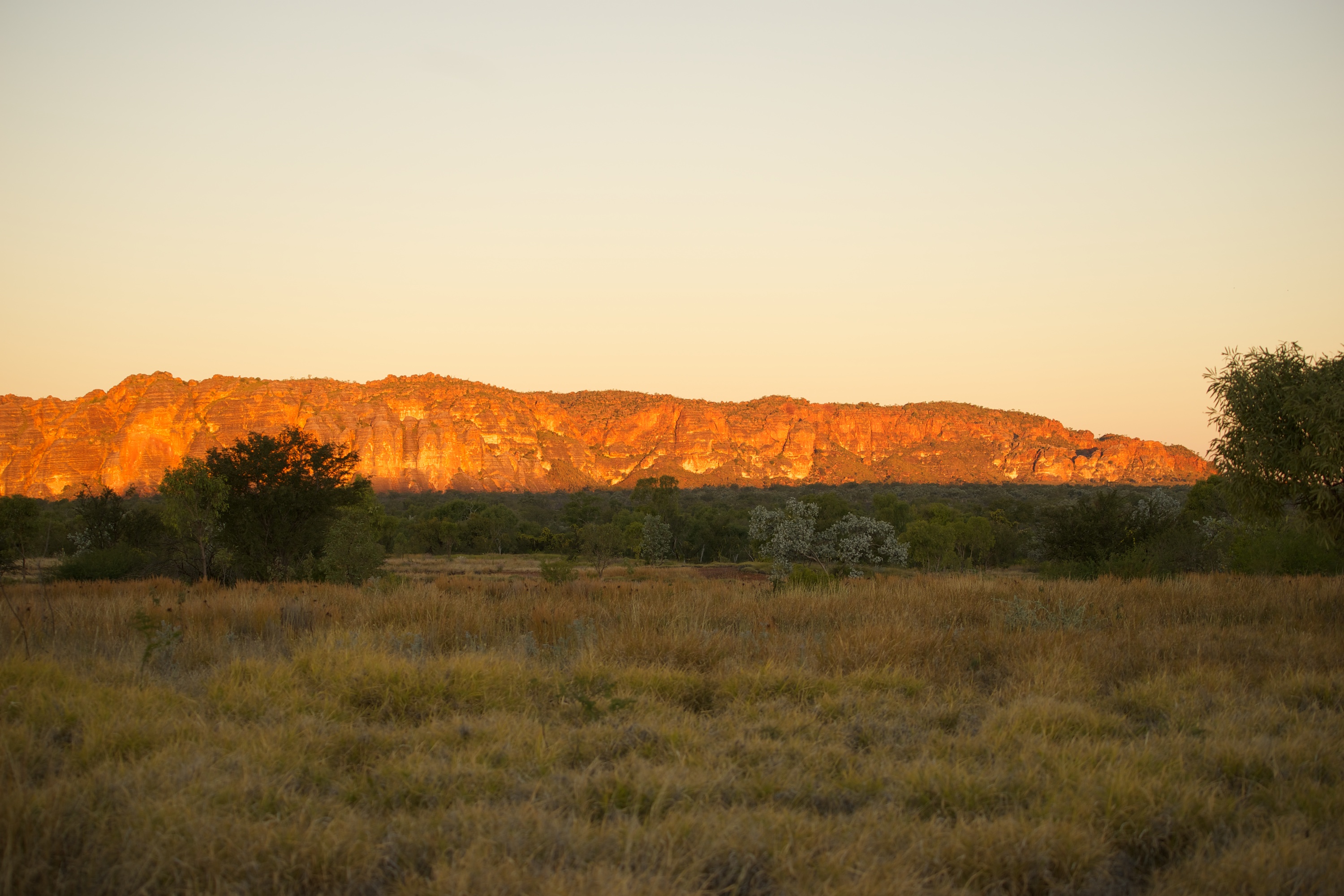
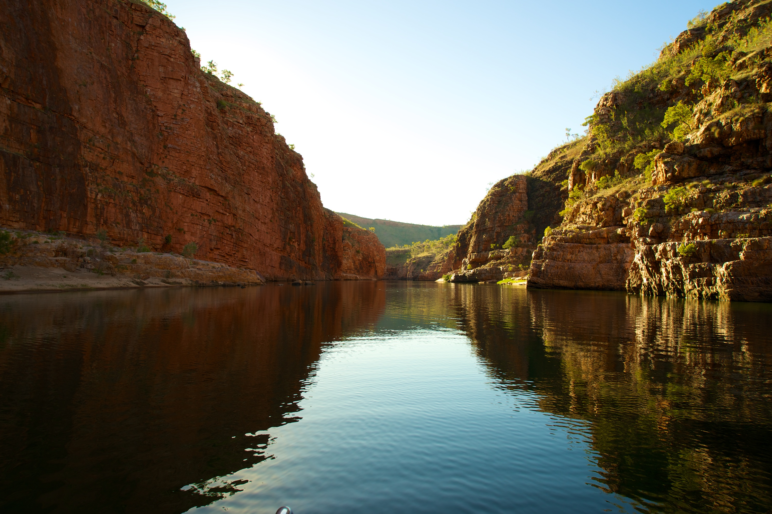
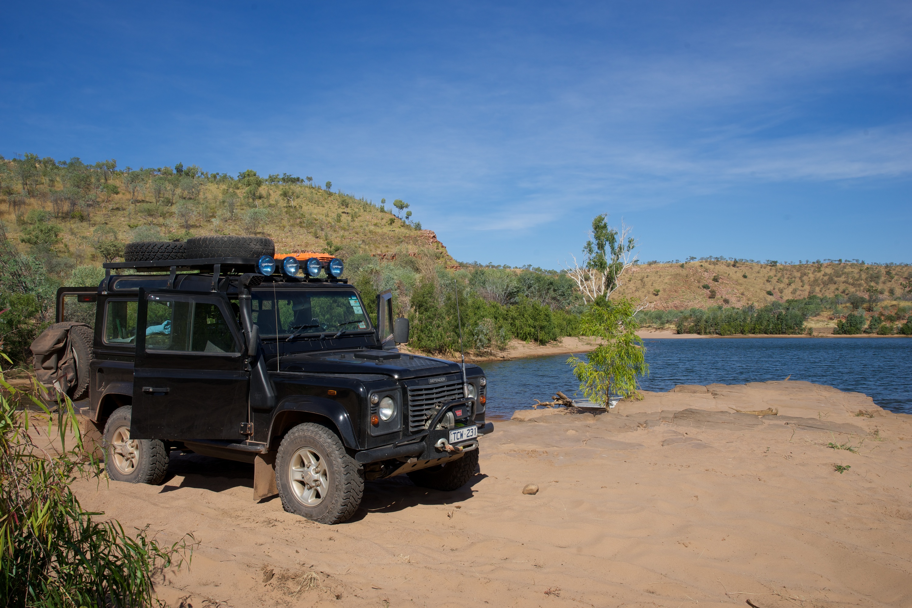
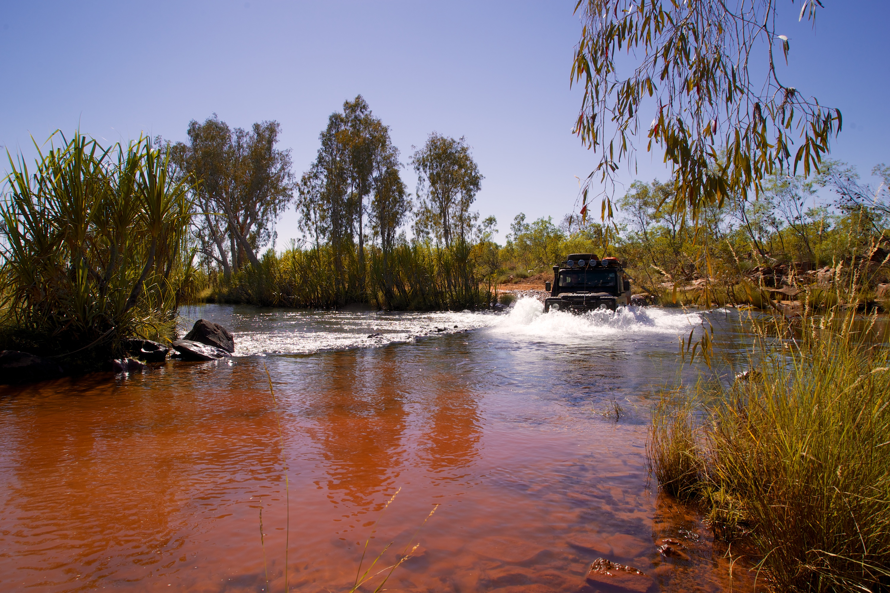
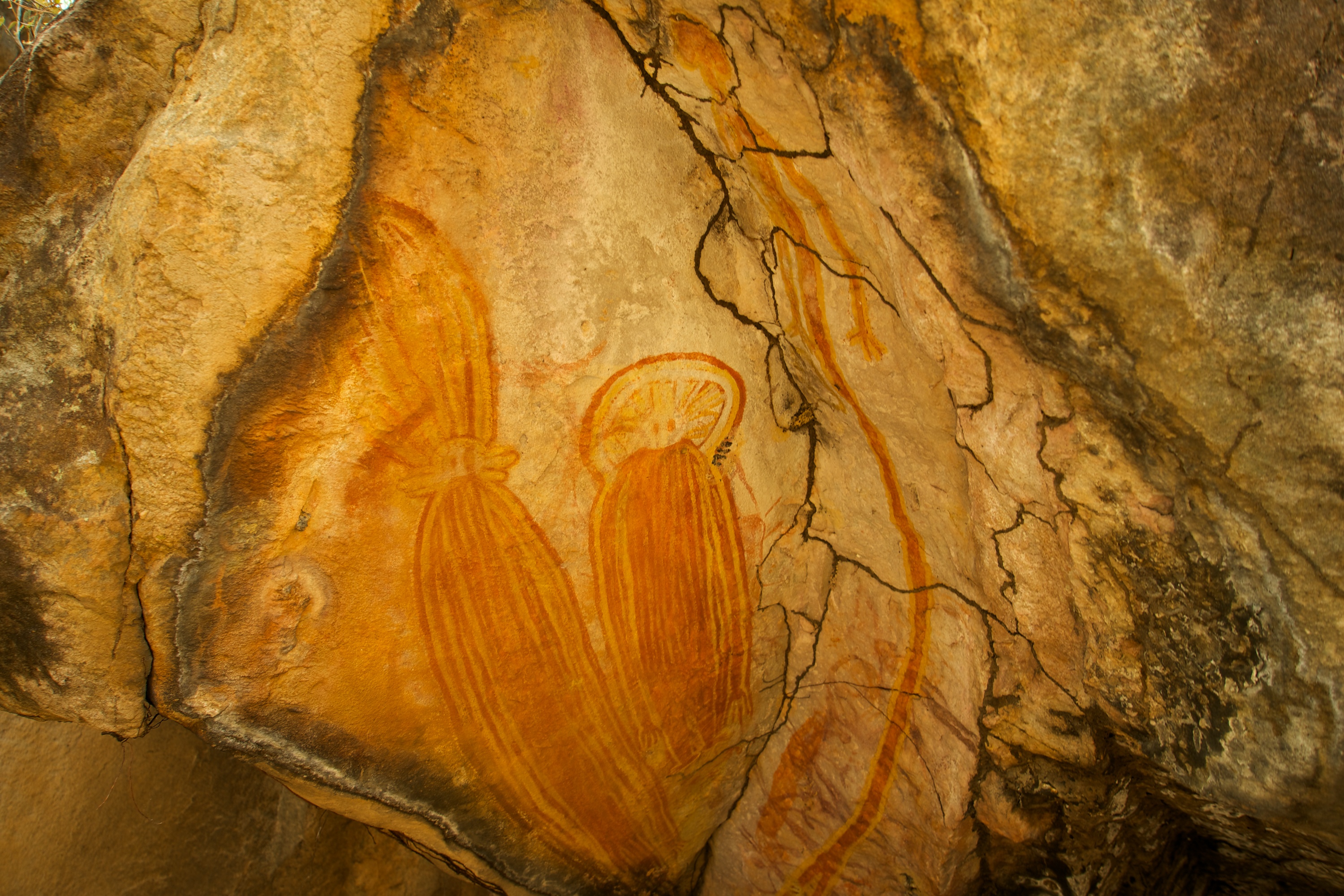
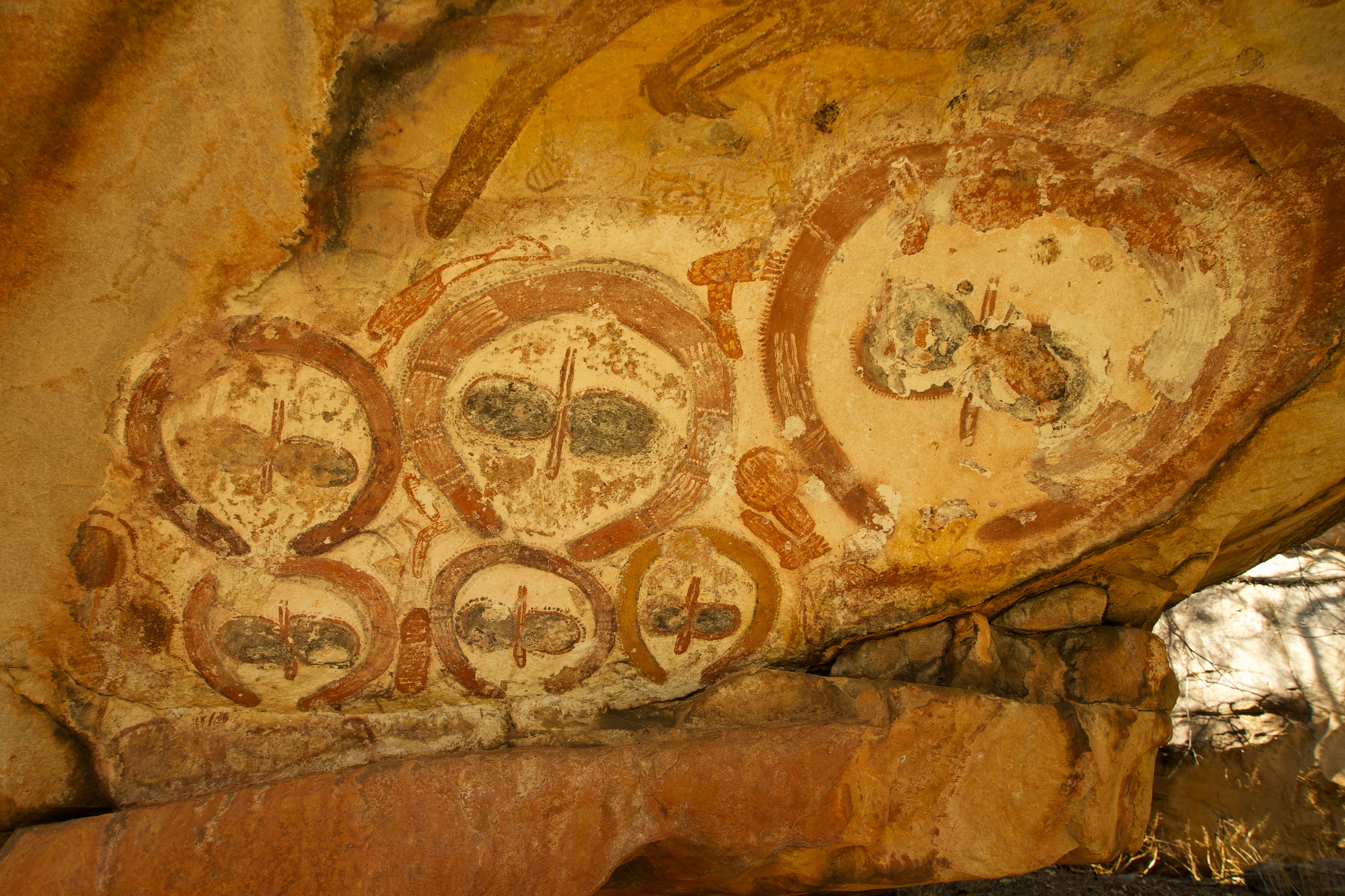
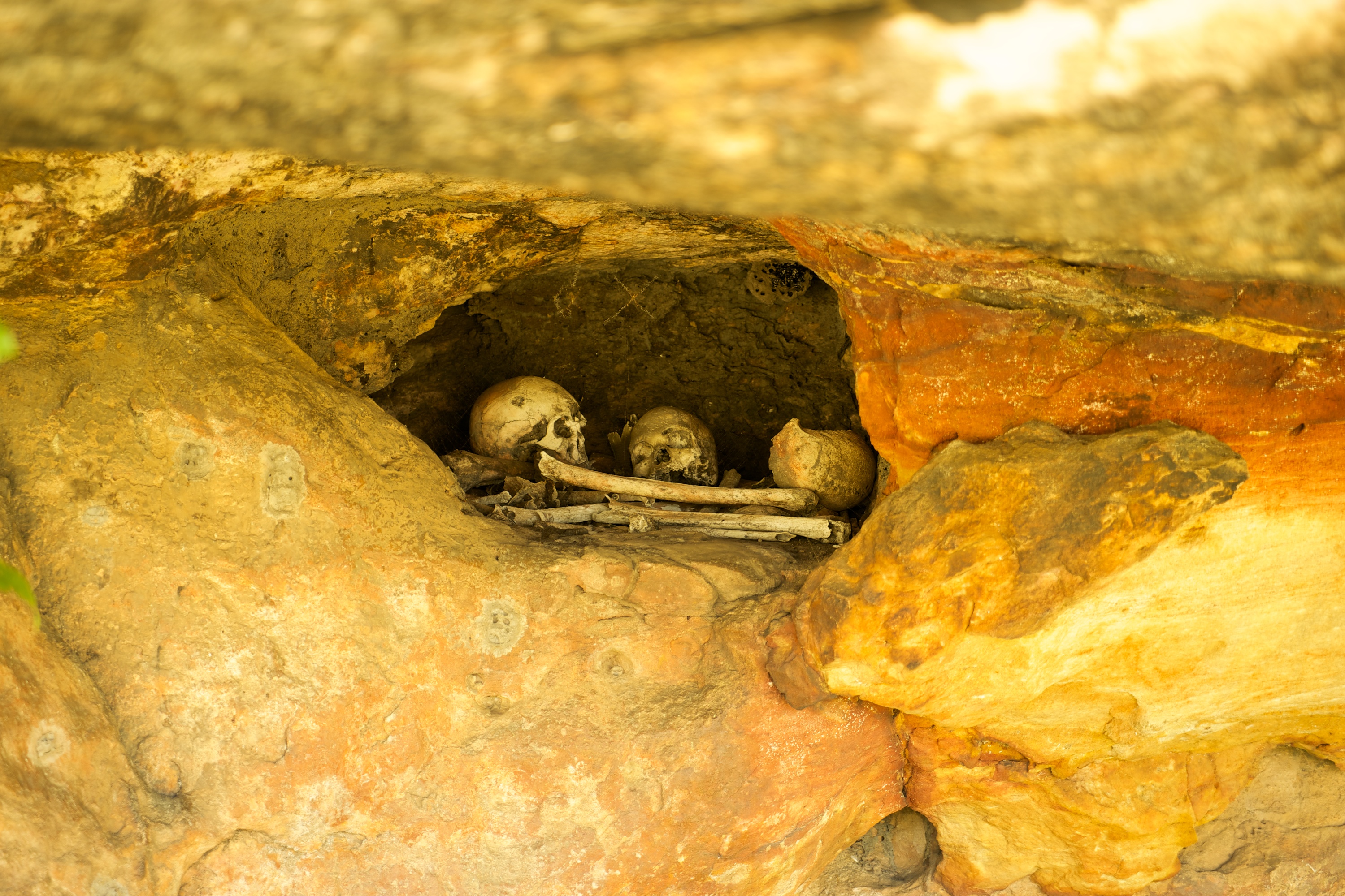
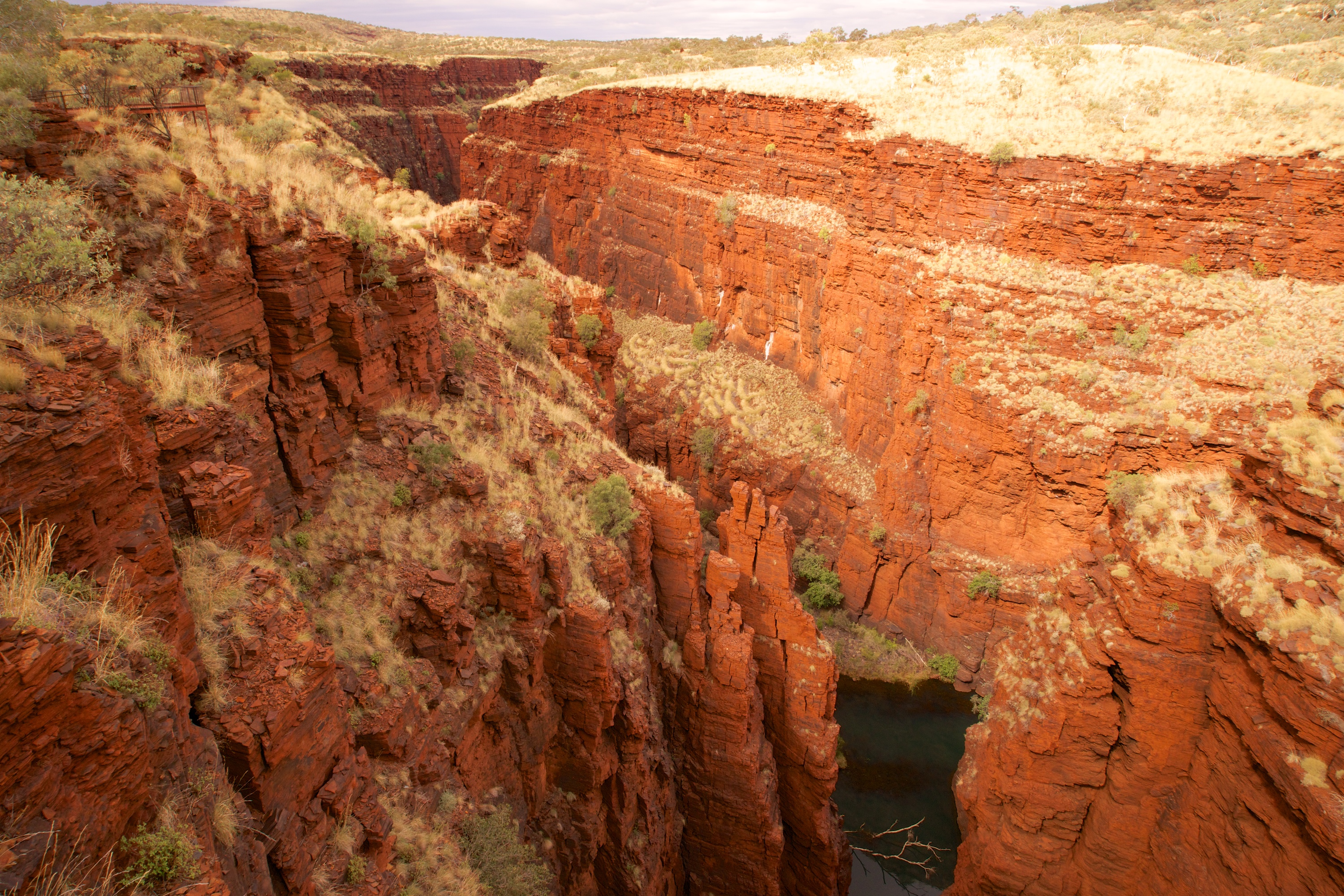
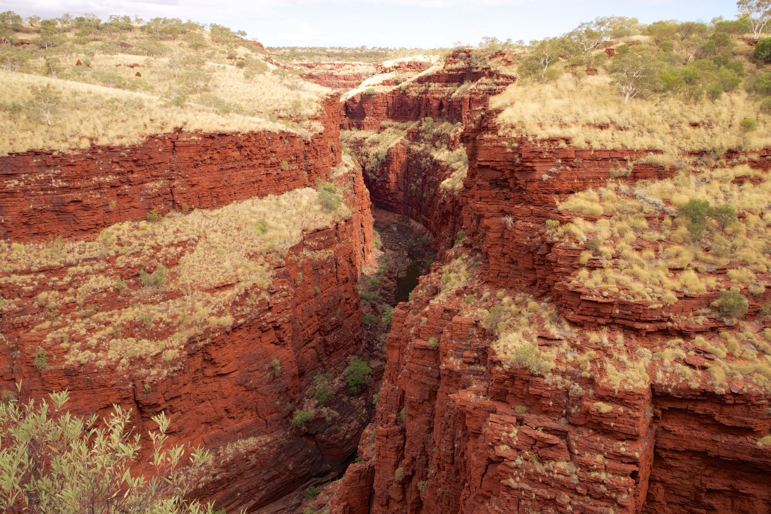
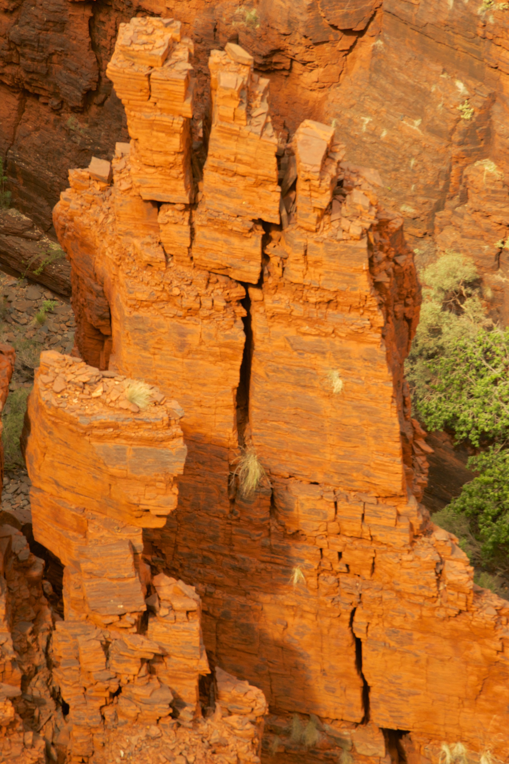
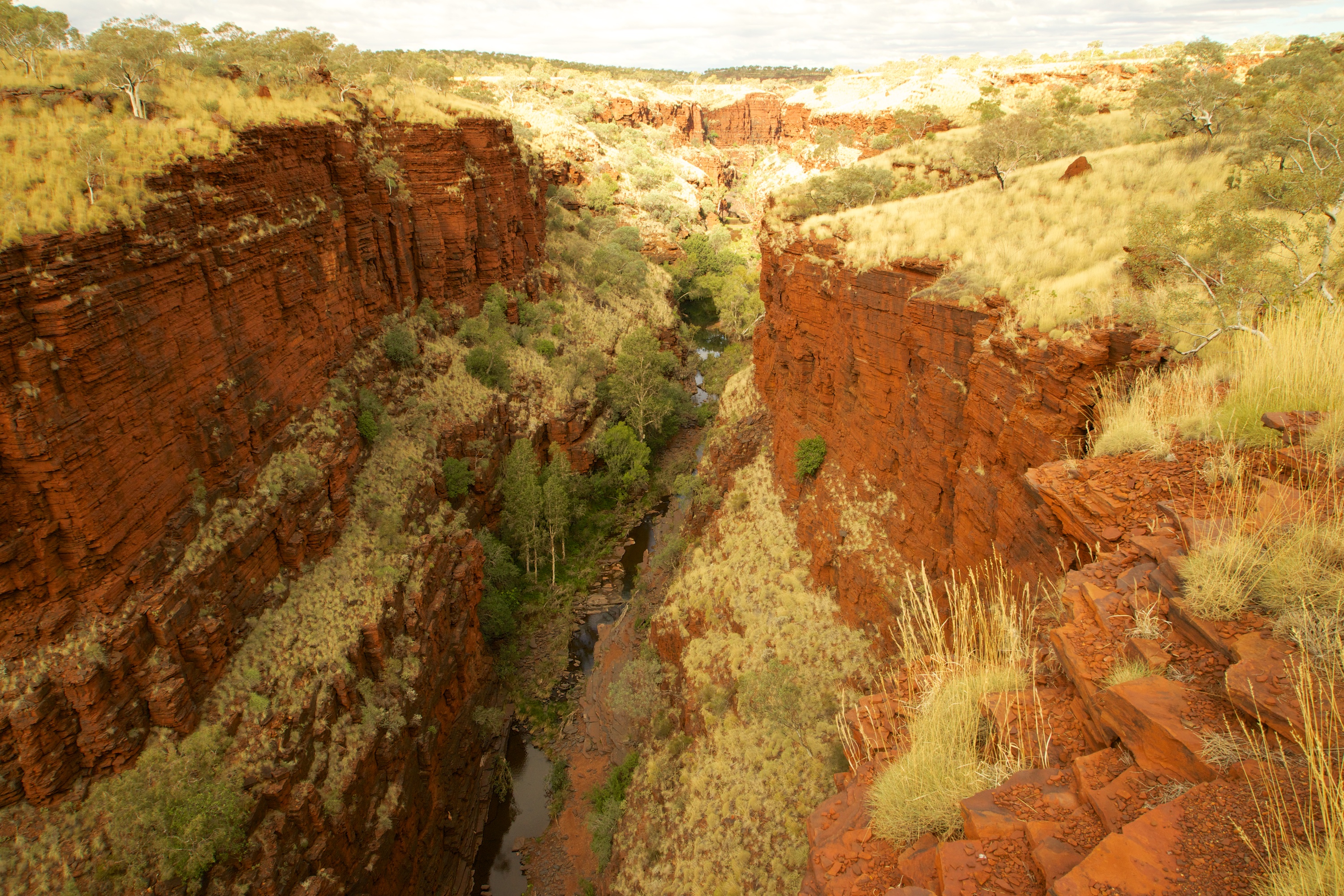
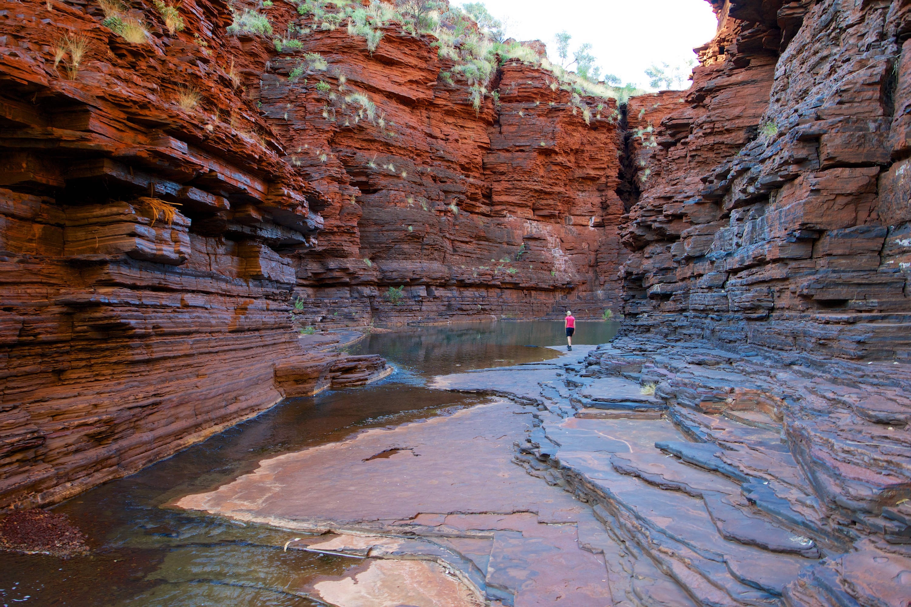
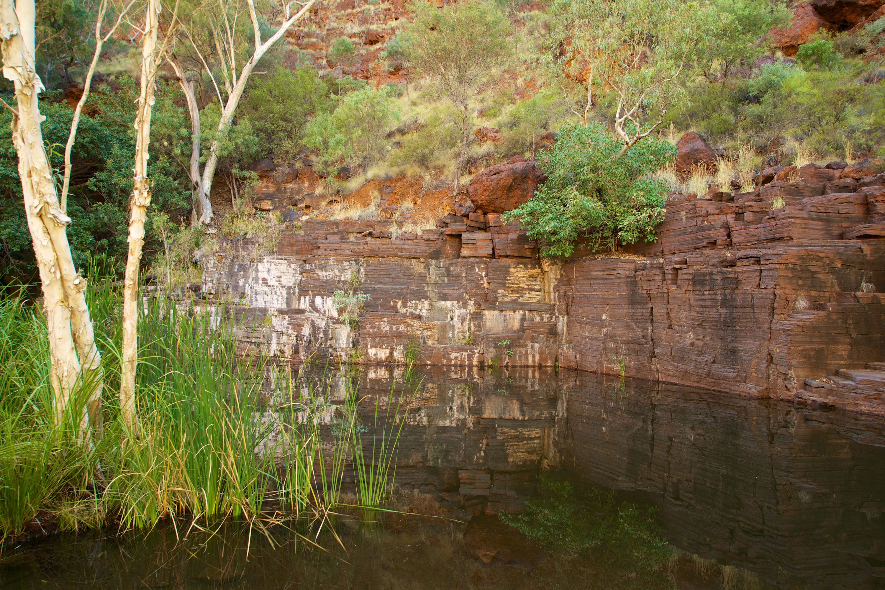
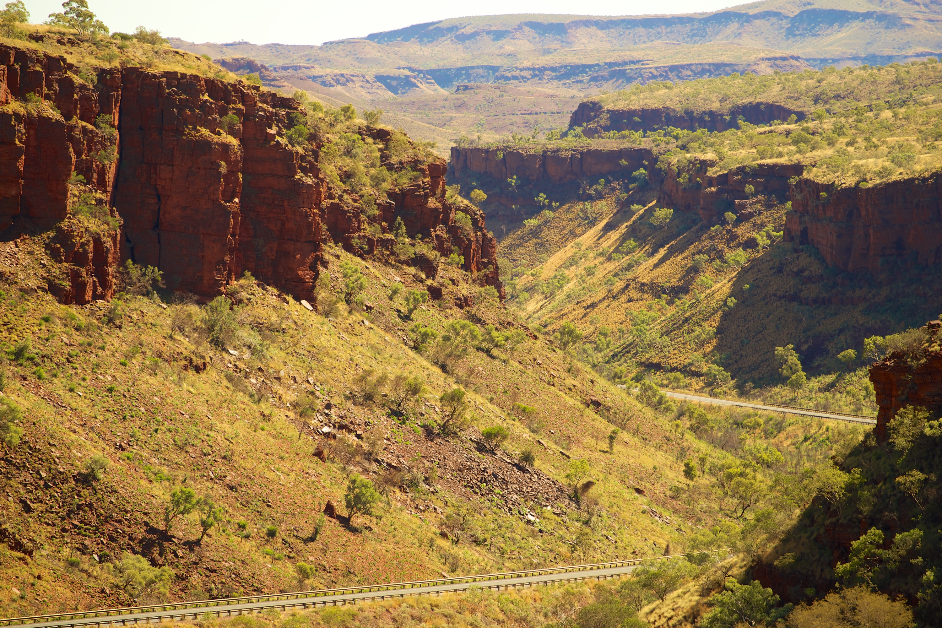
This makes “bush camping” a real challenge but there are surprising rewards for those who try the back roads and sniff around a little inland. 

_DSC6156

The Moo Moo Roadhouse near a little town called Burringbar where we stayed the night at their rest area in the heart of their cute little village.

As we drove into Byron Bay Ginnie loved the town sign which reads “CHEER UP – SLOW DOWN – CHILL OUT”. This town evokes polarised emotions… some love the place… others feel it has become over-commercialised, over-rated and over-priced. However you look at it, the beach, headland and coastal walk are some of the best on the North Coast.

_DSC6161

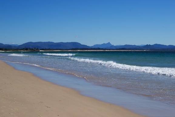
Byron Bay Beach and backdrop – a stunning spot despite the tourism hype.

_DSC6165

Winter at Byron Bay! Some in shorts and swimming… some rugged up 🙂

_DSC6166

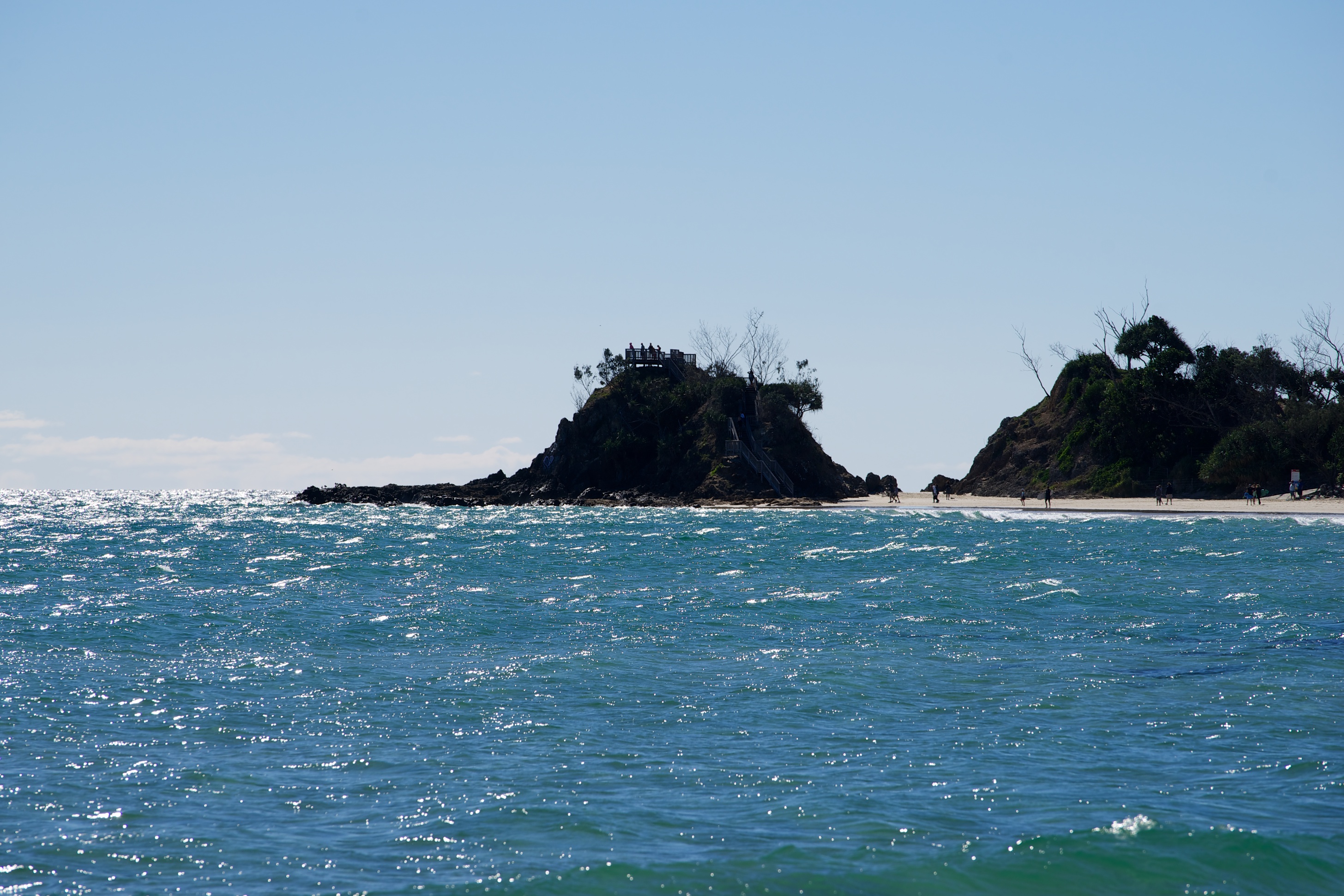
Whale watching platform on the knob at Byron Bay

_DSC6173

A commercial whale watching tour launching the hard way (for the staff).

_DSC6205

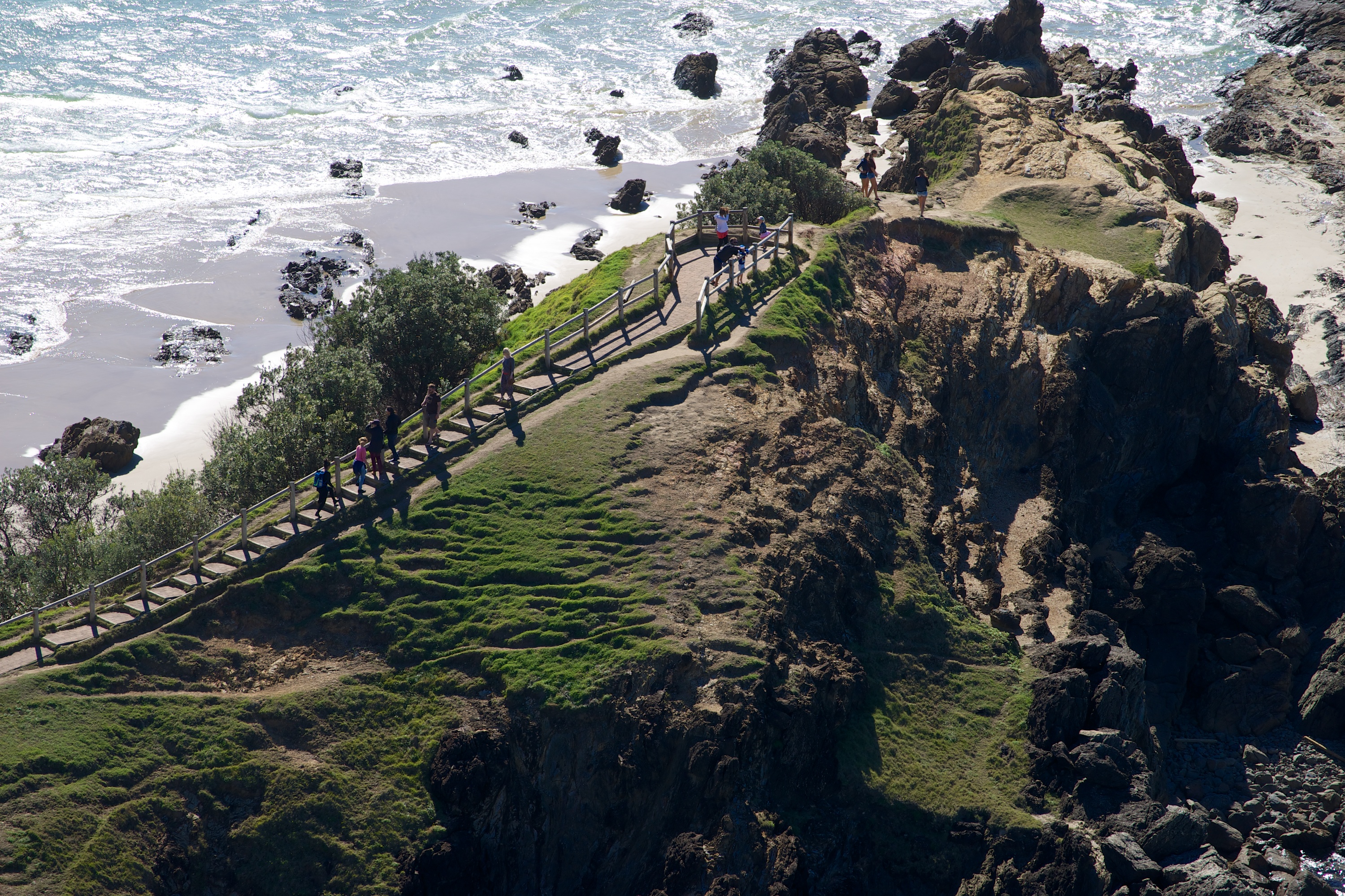
Along the Cape Byron Coastal Walk.

An added bonus to our day in Byron Bay was the presence of migrating whales. We had been a little early for the migration on the west coast near Exmouth. Ginnie was really hoping to see them as she just loves to watch them breach and splash their enormous tails. As well as several pods of whales, there were dozens of dolphins splashing in the Pacific waters off Cape Byron.

_DSC6207

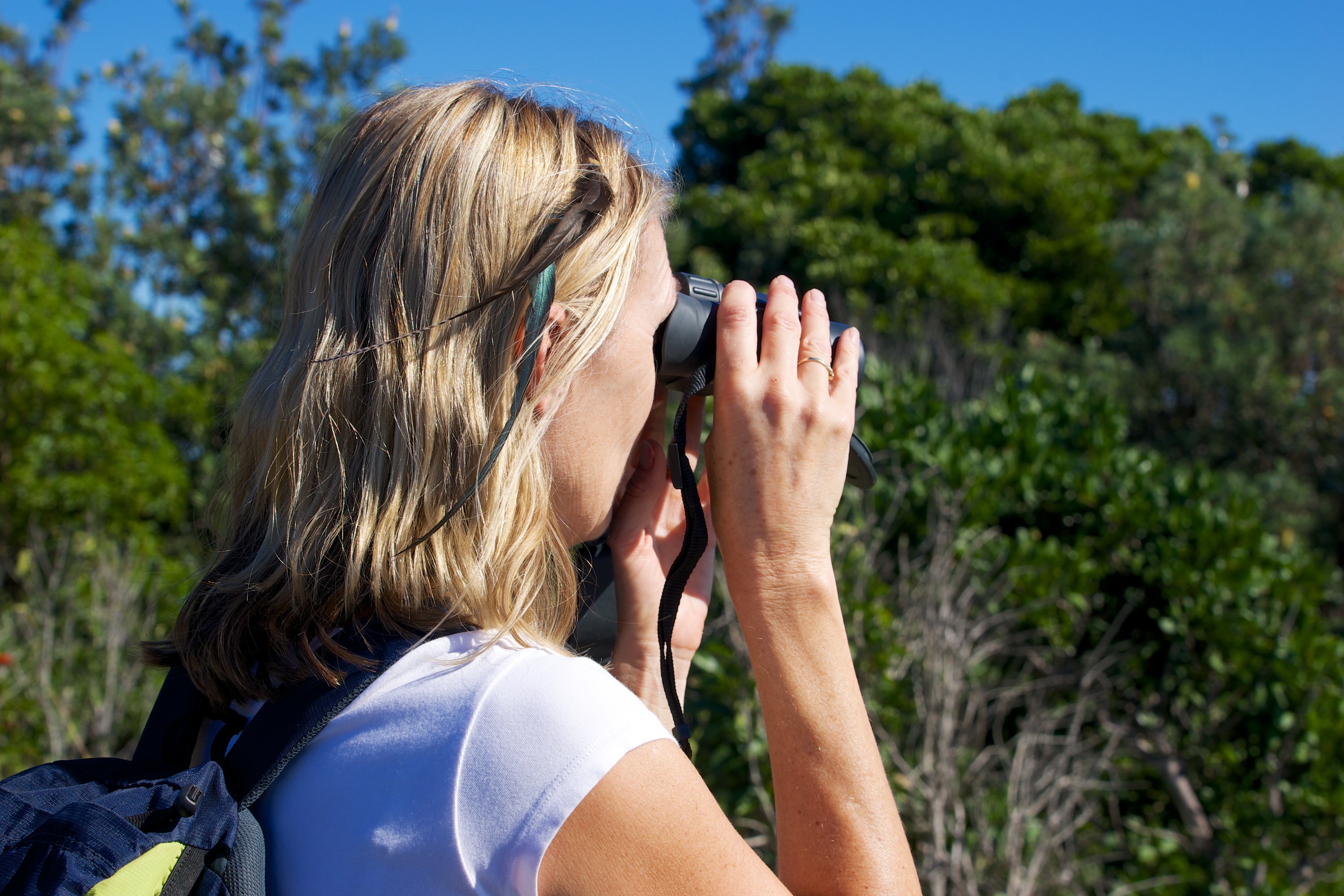
Cute hippie chick at Byron Bay looking at the migrating whales.

_DSC6217

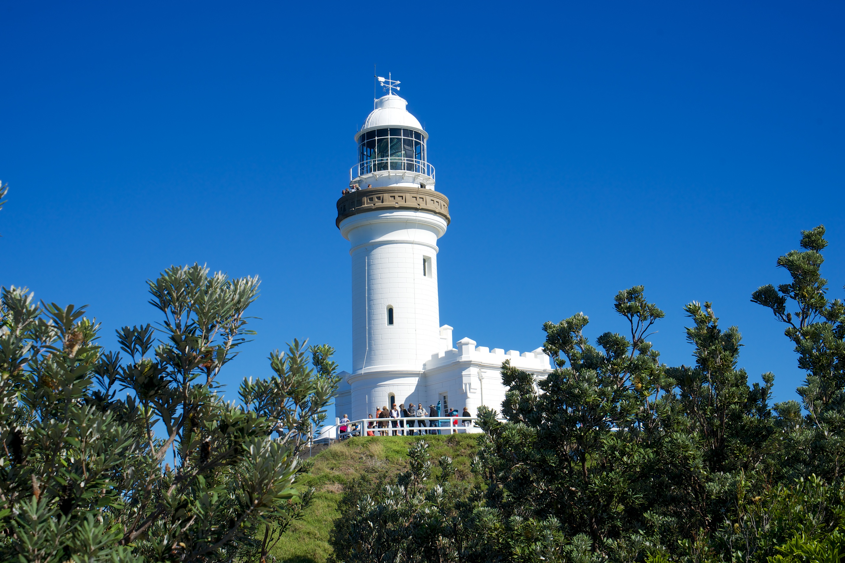
Cape Byron Lighthouse

_DSC6228

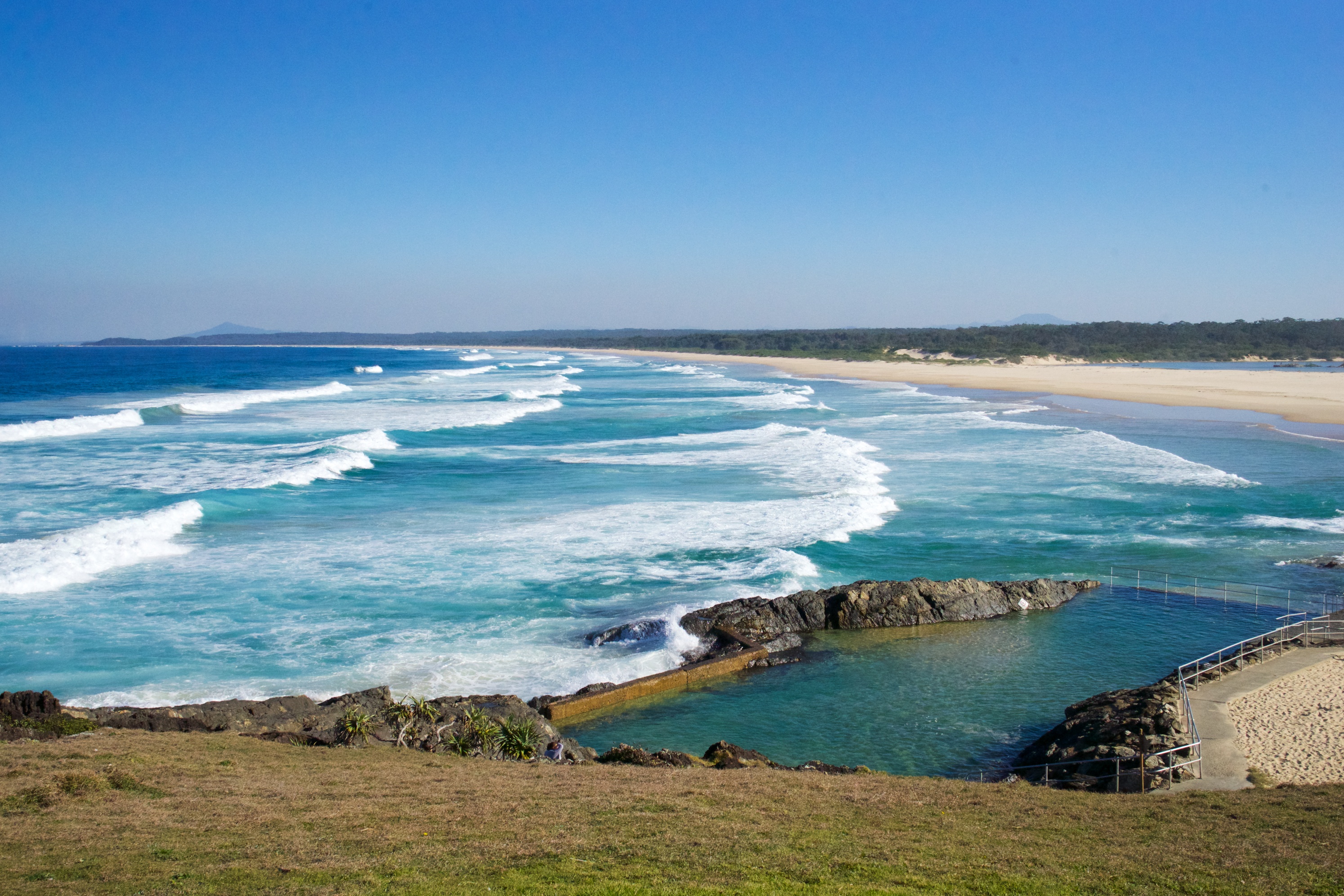
The beautiful Tallow Beach south of Cape Byron

_DSC6231

Aussies showing their respect for authority 🙂

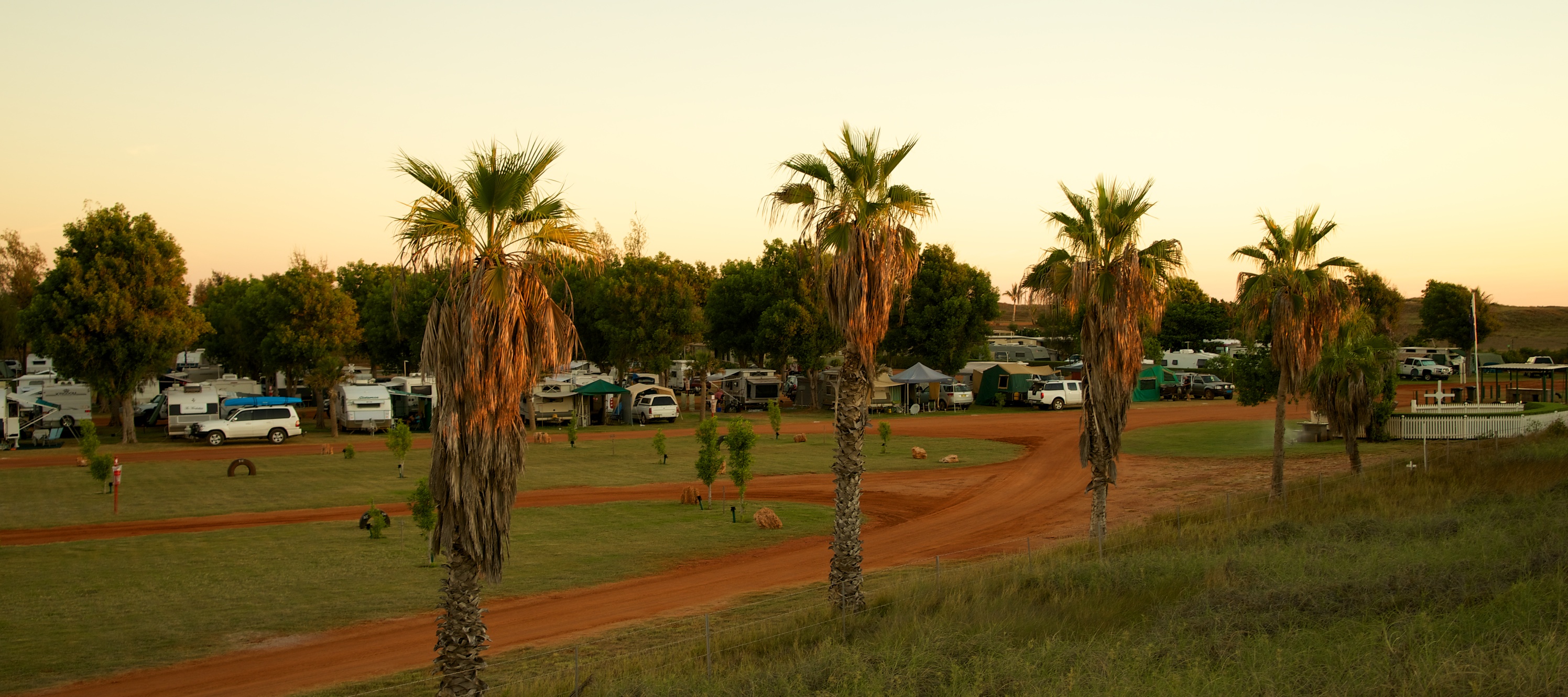
From Byron we headed south  where we found a surprisingly quiet and beautiful camp spot (complete with boat ramp) near Broadwater on the Richmond River just a short drive south of Ballina. The nights have been freezing for the last few days… 3 degrees to 6 degrees being the range overnight. This has been a tough adjustment after 3 months in shorts and T-shirts.

_DSC6239

On ramp for the Coastal Freeway from Byron Bay.

_DSC6252

Great little camping spot by a boat ramp on the Richmond River a little south of Balina.

_DSC6258

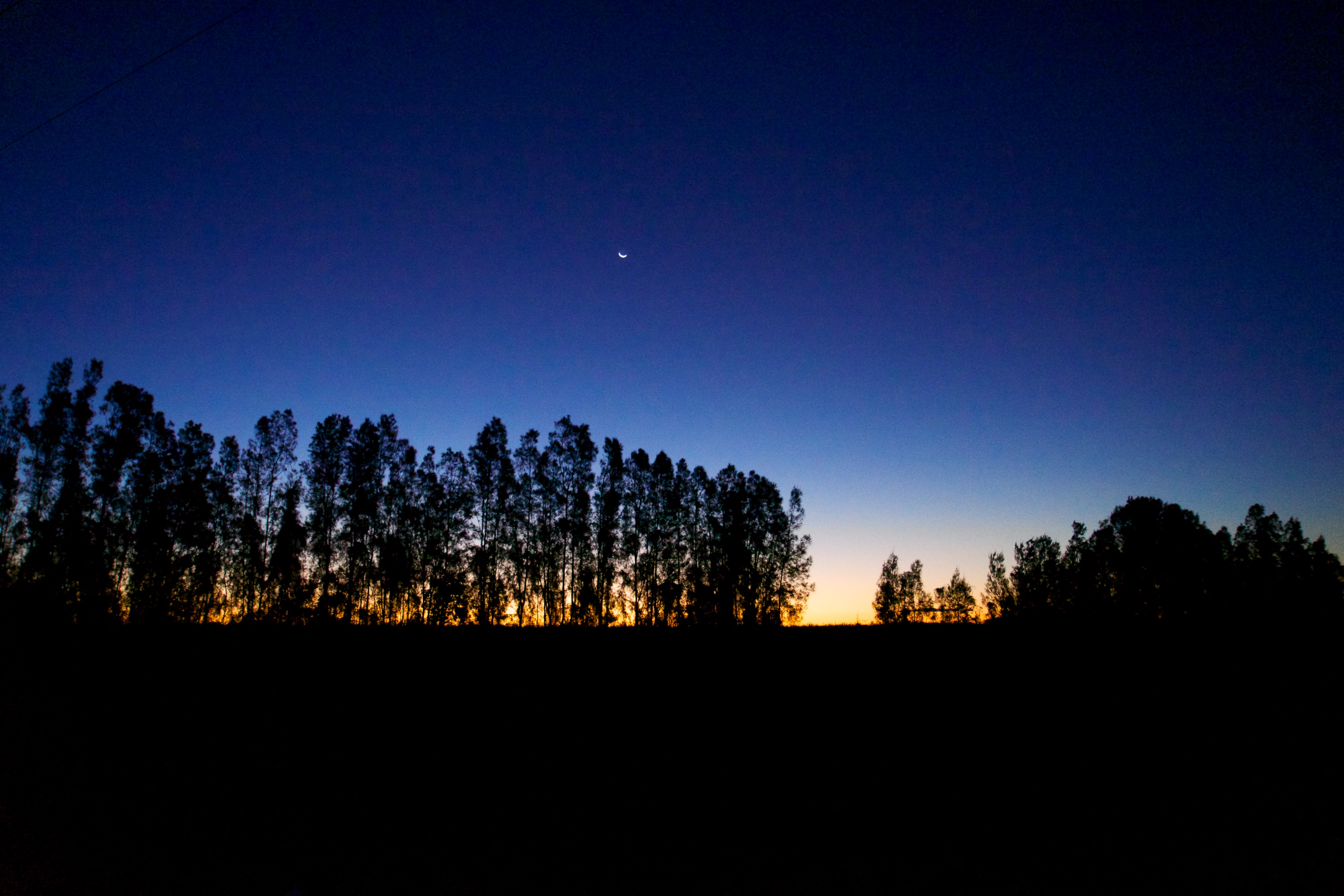
Sunset by the Richmond River.

We then headed to Yamba where we spent a couple of very pleasant days with old friends Peter and Sue Langston. When we were serving in the parish of Tambar Springs in North West NSW they ran the local infants/primary school and our family and theirs spent many wonderful hours together.

_DSC6261

Lunch stop at Sawtell.

_DSC6281

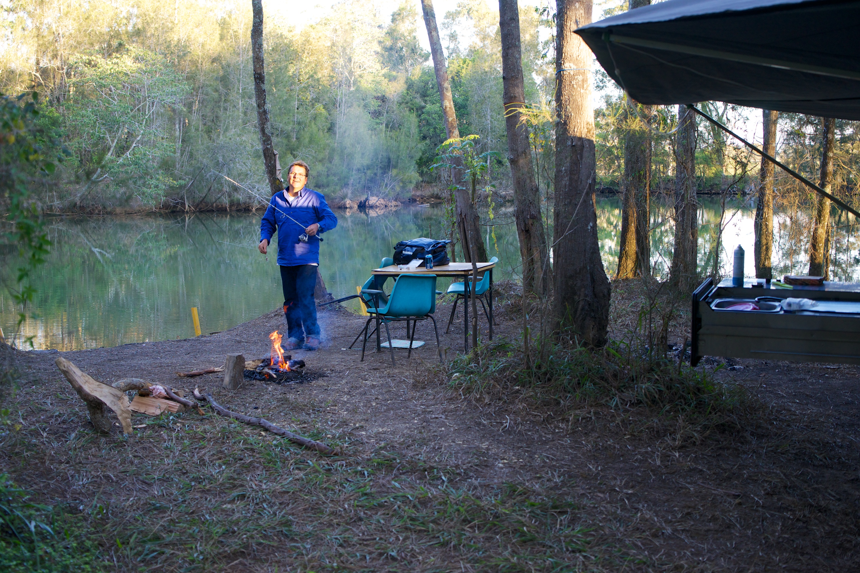
Last night under canvas 😦 beside Deep Creek near Valla. Plenty of bites but no fish for dinner.

Our last 2 weeks have been spent at Craig’s Beach House on the Pittwater in Sydney. This gave us time to catch up with family and we spent several days with pressure washers and scrub brushes working hard to remove the red dust from pretty much everything we owned, but particularly the boat, trailer and car. With everything cleaned up and looking great, Markus put it all up for sale! Looks like the next adventure will be in a different vehicle 🙂

_DSC6293

Sunset at Pittwater… our last night before returning to Melbourne.

And so it is with mixed emotions that we head home from our amazing holiday. We are excited about seeing our 3 beautiful children and looking forward to catching up with friends. However we do feel a little apprehensive about hitting the rat race once again. Above all, we are so grateful for this opportunity and the wonder of God’s creation that we have been able to enjoy.

Of course we are full of ideas and plans for the future (including more travel!) as we have had many hours of driving to chat and dream.  Big Trip 2014 may be drawing to a close but another is already being dreamed of…

Posted in Uncategorized | 3 Comments

Outback Queensland

The road changes little as you head due east on the Barkly Highway until you approach Mt Isa which is nestled in rugged and hilly country. It has that bare-earth, scarred look that big mining towns so often have. It was great to top up supplies and do a little washing at the Laundromat before heading out to a quiet paddock off the road that would be our home for the night.

McKinlay, Qld

Walkabout Pub in McKinlay, Qld was the prop pub in Crocodile Dundee.

The vegetation is thicker but the road trains are just as long and frequent in Queensland – 24 hours a day! We passed endless farms with paddocks so big you cannot see any fences. Here and there the Aussie sense of humour finds expression even out here.

Beer truck on the road to Longreach

This old beer truck shows how serious Queenslanders are about their Four X!

On the road to Winton

Qld version of farm gate art? I think this bloke is a bit lonely. He should go on the TV show “Farmer Wants A Wife”?

The next “major” town is Winton where lunch was enjoyed, along with the phone signal for calls home and email checks. The timing between blogs has been a challenge with so little coverage.

For sale, Winton, Qld

This little unique house is for sale in Winton. Nearly made an offer on it but Ginnie wasn’t keen 😦

Old Yards on the road to Longreach

Abandoned cattle yards by the roadside

From Mt Isa through to Barcaldine we were absolutely staggered by the amount of roadkill on the verge. Literally thousands of Roos, dozens of pigs, cattle, sheep and even a donkey or two. On the worst stretches, we observed that we could not travel 50 metres without there being at least one dead thing beside the road… and that was for hundreds of kilometres! It seems like such a waste. These creatures could have maintained the meat pie industry at the MCG for at least one football season.

_DSC6047

Fortunately no Camels were  roadkill! These animals were key inland transport a hundred or so years back.

By far the biggest town on this stretch is Longreach. With it’s stately trees, historic buildings, extensive facilities and industry it is a thriving hub of business and tourism. It is also home to the Stockman’s Hall of Fame (this was just a shed under construction when we passed through here 27 years ago). This place is well worth a visit even if you don’t venture further west.

Stockman's Hall of Fame, Longreach

The Stockman’s Hall of Fame

Perhaps our favourite typical little country town was Barcaldine which has a bakery so good it was like peak hour in Melbourne when we hit the place at morning tea time. The sausage rolls were amazing! This town also houses “The Tree of Knowledge” the site of shearers strikes and the birth of the labour party in the 1890’s. The link between knowledge and modern politics seems tenuous but this tree has significant links with Australia’s past and the union movement. After 200 years, termite infestations and the hands of vandals saw the grand tree die. It has been preserved and now encased in an open air “reverse canopy” with thousands of suspended timbers internally shaped to reflect the original canopy size. Apparently night is the best time to see this display with its internal lighting. You can’t miss it as it is in the main street of Barcaldine.

_DSC6030

Looking up into the canopy cavity of the Knowledge Tree in Barcaldine.

Of course there are many quaint and quirky little towns to see like Alpha and Dingo. Perhaps the most unusual was Jericho which included a strange reconstruction of the walls of Jericho and the “Crystal Trumpeters” as they were seeking to retell the Biblical story behind their name. Cutest of all was their cafe and drive in theatre (also the War Memorial park) which can accommodate nearly 2 dozen cars with extras seated in a small pavilion behind.

_DSC6051

The Jericho souvenir shop, bistro, restaurant, fuel station & trader in arts and crafts!

_DSC6057

The WWII Memorial Park also doubles as the Jericho Drive In Theatre. They can take nearly 2 dozen cars and pedestrians can sit in the stall behind the cars at the rear!

After seeking local knowledge along the way we turned east off the Lansborough Highway at Barcaldine and took the Capricorn Highway nearly all the way to Rockhampton before turning south a little inland from the busy coastal roads so as to arrive in Gympie via scenic route – just a short drive from our destinations in the Sunshine Coast.

_DSC6064

We stopped at this rail crossing for the coal train. It stretched over a kilometre and included 2 diesel engines at the front, 3 engines in the middle and 100 coal carriages.

There are certain signs that help you to realise you have arrived at The Sunshine Coast…

welcome_to_banana_shire_sign__285x

IMG_18261-300x200

The Big Pineapple – Nambour.

We had enjoyed our days in the Noosa region immensely. Markus drooled over the Expedition vehicles we inspected and Virginia boosted the economy at the Eumundi Markets which we haven’t visited in about 15 years. Here are some shots of these great markets…

_DSC6075

_DSC6085

Yep… a bakery for dogs!

_DSC6097

_DSC6125

Markus’ first ride on a Segway… intense concentration!

_DSC6126

These old guys were singing a sweet Gospel country tune.

_DSC6127

This dude makes amazing guitars from cigar boxes and plays them a treat!


Posted in Uncategorized | 1 Comment

Leaving the Kimberley & across the Northern Territory.

After the slow dusty exit from Purnululu NP to the Great North Highway and a brief top up in Kununurra, our final stop in the Kimberley was beside Lake Argyle. This man made lake is the largest freshwater lake in Australia and holds 21 times more water than Sydney Harbour. The water is renown for its dazzling blue colour and the site is all the more spectacular as the dam is filling a dramatic red cliff gorge so typical of the Kimberley region.

Image

The Van Park’s infinity pool appears to flow right into Lake Argyle 🙂

The water that flows from this catchment into the Ord River scheme allows the irrigation of this area and it’s subsequent abundance of primary produce. The Dam also produces hydro electricity which powers the region.

Image

Thanks to the advice of a fellow camper we investigated some of the side roads on our exit to the highway to discover some seldom seen Aboriginal artwork. Like many other sites they are not advertised or signposted and local knowledge becomes essential to find these treasures.

Image

Image

Ancient Aboriginal depiction of a crocodile.

Our leaving the Kimberley marked the end of all of the “must see” items we had on our list for this trip. We had thought we might head home via the Stuart Highway, Alice Springs and Uluru – which we still haven’t seen. Having a little extra time up our sleeves we decided to call by in Sydney to visit our parents before the final leg home to Melbourne. A quick check of the map revealed – to our surprise – that the distance to Sydney was about the same via the north of Queensland or all the way down to Port Augusta and then back up through central NSW. The rough desert tracks through the centre aren’t as appealing at this stage of our holiday 🙂

Image

The red wing parrot is native to the Kimberley. It’s hard to get a good photo of them.

The decision was made to actually “do the full lap” of this little island. Markus was particularly excited at the prospect of arriving at the Queensland coast in the area that houses most of Australia’s leading off road camper/expedition vehicle industry… just for a look! This will also be a return to the site of many happy family holidays on the Qld & NSW Coasts when we had young kids and lived in Northern NSW. We haven’t been to some of these locations for over 15 years.

Image

Welcome to the Northern Territory! These speed signs are right over the border from W.A.

Our lunch stop was at a Little Rest area come National Park called Big Horse Creek which is on the banks of the Victoria River where Big Horse Creek enters. The place was packed with caravaners and travellers many of whom had fishing rods out and boats on trailers. A conversation with a couple of ex-farmers from Gatton in Queensland revealed that this was Barramundi heaven. Every year they head about 70 km up the river and catch the big ones. In case it sounded like a good yarn to impress they showed us pictures from last year with her cradling a Barra that was over a metre long! Might have to return with some fishing buddies… only trouble is they share the river with crocs “as long as their caravans”, they reckon.

Image

The Victoria River – full of big Barra and big Crocs. This bridge is to a vast, secure military training facility.

Those of you who have been to the top end via the east coast know that it is a long haul from centre to sea… about 3,000 kilometres. This is only a 2 or 3 day stint for our friend Ash on his motorbike, but for our set up the next week will see us travel at a comfortable pace from the Northern Territory to Noosa. The road is a little less interesting now. Perhaps that is why some folk deal with the boredom of long distances with strange rituals …like dressing up the termite mounds as people? We saw hundreds of variations.

Image Image

This stretch of road will also see us taking advantage of the many “bush camp” opportunities that present themselves on Australia’s outback highways.

Image

Ahh the serenity… no one for miles and plenty of firewood!

There are many 24 hour rest stop areas designated on West Australian and Northern Territory roads. They usually have toilets, garbage bins, a shaded area, some tables and chairs and fireplaces. The only trouble is, with the steadily increasing volume of “Grey Nomads” looking for that free camp, these places start to fill from lunchtime. Some just stop there for days with their generators humming and their satellite dishes pointed north east so they can watch their TV shows – like at home!

Newcastle Waters roadside stop, Stuart Hwy, NT

Packed in! the view as we entered the roadside rest area where 24 hour stops are allowed.

The result is us choosing to leave the sardine-can-roadside spots for those who seem to enjoy it and we explore the side roads and tracks a little further on. Having a vehicle and trailer that can handle the rough is a HUGE advantage if you like to get away from the maddening crowd 🙂

_DSC5944

We drove on just a couple of hundred metres and found this spot instead!

We made a brief stop for the shops and fuel at Katherine. We haven’t been there for 27 years. This town was our first experience of seeing groups of people just sitting around in public spaces in the shade all day, often intoxicated. It was pretty much as we remembered… no significant improvement in the apparent lifestyle of the original inhabitants of this country which saddens us both.

Lunch was enjoyed at Mataranka Thermal Springs with a delightful swim in the therapeutic warm pools which were also pretty much the same as last time we visited over two decades ago.

Mataranka Springs

WWII troops created this pool from the natural springs that flow here.

Mataranka Springs

The water is crystal clear and a comfortable 28º …some say it has therapeutic benefits.

Roadside stop, Avon Downs, NT

Our last night in the NT at a roadside spot called Avon Downs about 10 minutes from the Queensland Boarder.


Posted in Uncategorized | 3 Comments

Purnululu NP – The Bungle Bungles

After the bliss of a few hundred kilometres of tar it was a rude shock to take the turn off into the Purnululu National Park. The camp sites were not much more than fifty kms in but even our maps said “Allow 3 hours to reach campsites”. Surely not!

Image

The first glimpses of the legendary Bungle Bungles…

Like many other precious things in life, the reward at the end is not without some effort and perseverance to attain. Having booked on-line (you have to for many National Park Camps now) we did not have to scurry down to the campsite to “stake our claim”. Instead we headed straight to the north end of the Bungle Bungles to walk into Echidna Chasm. (Note to travellers – starting at the north end of the park is the way to go… the south is the grand finale!)

Image

It’s not wildflower season but beauty is growing everywhere in the Kimberley.

Echidna Gorge, Bungle Bungles

The final approach to Echidna Chasm

I hope the pictures convey a fraction of the experience as our words will struggle to describe it. After a tricky walk in (1 km) over a very pebble strewn creek bed you enter into an increasingly tightening chasm that opens a couple of times to larger caverns. As it late morning the sun was nearly overhead and here and there it penetrated the orange sandstone cliffs that tower 200 metres on either side. The result is areas of shadow and cool, then around the corner a huge vertical crack with a view to rock that is glowing like it is molten lava!

Echidna Gorge, Bungle Bungles

A Bower Bird nest at the entrance to Echidna Chasm. Read the description below…

Echidna Gorge, Bungle Bungles

Hmmm… seems like their “Bachelor Pads” work pretty much like human ones 🙂

Echidna Gorge, Bungle Bungles

Ginnie is dwarfed in the Echidna Chasm entrance

Echidna Gorge, Bungle Bungles Echidna Gorge, Bungle Bungles

Echidna Gorge, Bungle Bungles

Looking up…

Echidna Gorge, Bungle Bungles

Looking through into the next cavern…

At the final accessible point the cracks above have huge boulders that have fallen wedged in the crack. Would have been amazing to be in there when a couple of tons of rock comes tumbling down and stops in the pinch above!

Echidna Gorge, Bungle Bungles

Our second walk that day was to homestead Valley which is a large open area with stunning cliffs and rocks all around.

Walk to Homestead Valley, Bungle Bungles

The view at Homestead Valley

Our camp site was a cracker – on the banks of wide river bed and private from the neighbours due to trees. The experience of a hot shower under the open, starry sky is something everyone should experience in their lifetime. As with every stay more than 1 night the solar panel is assembled to fully charge the camper batteries the next day free of charge 🙂

Day two saw us motor to the southern Bungles which are iconic shapes and colours you may have seen in the advertising brochures and ads. Scientists world-wide have declared this place a geological masterpiece and, as a result, it has attained World Heritage Listing.

South Bungles

South Bungles

There are still a few pools of water left from the river that flows through here in the wet.

The Window, South Bungles

The Window.

The colour banding of these unique beehive shaped formations is created by layers of silica (orange) and fragile white sandstone which is black because it is covered by a lichen from the constant cycle of wet seasons.
South Bungles

One the return walk we veered into the Cathedral Gorge so named because at its conclusion it present a large water pool framed by an amphitheatre of overhanging rock walls. Visitors seem to instinctively know that any sound will be magnified so there is almost no conversations except for a few hushed whispers.

Walk to Cathedral Gorge

Looking into Cathedral Gorge Cavern

Walk to Cathedral Gorge

Looking out of Cathedral Gorge

Elephant Rocks, Bungles

Elephant Rocks – 2 of them!

With many kilometres completed in the blazing sunshine and heat of the Kimberley we returned to camp for a lazy afternoon: washing some clothes, reading & snoozing before heading to the sunset lookout for wine and nibbles and our last evening here.

Sunset South Bungles

The sun setting on the Bungles… it’s racing up the rock face.

Posted in Uncategorized | 4 Comments

Gibb River Road #3 – El Questro Station

El Questro is a very large (1 million acres) working cattle station that has been a favourite destination for travellers in the last couple of decades. This has seen the historic station transformed into a Wilderness Park and the humble homestead developed into world-class cliff-top luxury apartments which are cantilevered over the edge of the Chamberlain Gorge. Apparently, you can recline in your bath suspended over the Chamberlain River sipping champagne while enormous Barramundi and Crocs swim in the floodlit waters below. As these were priced from $3,000 a night we settled for the camping area instead and took full advantage of the washing machines and strong hot showers to begin the task of removing some of the Gibb River Road dust from our persons and possessions.

Image

The welcome desk, store & tavern by night. Every night there was a big fire and live music.

Many stunning gorges, waterfalls, long walks and tough four wheel drive tracks are a feature of El Questro – it is really a small and unique slice of the Kimberly experience. We stayed for 4 nights, taking a quick trip into Kununurra to restock our depleted food and grog supplies. On the first day we had a leisurely morning before doing the Explosion Gorge Sunset Tour which included a drive through stunning country, a quiet boat trip up a gorge that is not open to the public and then cold drinks and a gourmet fruit & cheese platter on a cliff edge as the final rays of the sun coaxed the brilliant reds and oranges out of the Cockburn Ranges and the Chamberlain Gorge.

Image

Last light n Explosion Gorge, so named because an early cattleman threw some dynamite in to catch fish!

As it has so often happened, the trip was a little reunion with 2 english couples from Perth that we have bumped into every couple of days since Cape Levique.

Image

Sunset on the stone cliffs of Explosion Gorge.

The tour was peppered with tons of local knowledge from our young guide Rees who was working here for the season and might head to the Victorian High Country at the end of the year for horse riding tours. We encouraged him to look us up in Melbourne so we might introduce him to our lovely daughter 😉

Image

The next morning we headed out bright and early to Emma Gorge which is in the northern section of El Questro. There is a small, separate resort at the entrance to the gorge which features shady palm groves, clear green tinted pools and a stunning finale with a huge waterhole surrounded on three sides by sheer 65m cliffs. This is fed by some falls, a separate droplet waterfall and even some thermal springs, though the claim that this is the coldest pool in the Kimberley seemed correct to Ginnie and myself as we plunged in to cool off from the walk in.

Image

Now you know why it is called the spiral (screwy) pandanus.

Image

The clarity of this pool in Emma Gorge took our breath away.

Image

The temperature of this pool at Emma Gorge Falls took our breath away.

As if the walk out wasn’t enough to warm us up on this slightly cooler day (sunny & 28º), we then headed to Zebedee Springs which features a short walk through thick tropical livistona and pandanus palms to a series of crystal clear warm pools fed from a thermal spring. These are a favourite with visitors to El Questro but the presence of many pools and little falls ensured we found our own private slice of thermal delight to just unwind and soak in for an hour or so.

Image

The short walk into Zebedee Springs

Image

This was our little soak for a hour or so 🙂

Image

This shot shows 3 or 4 spots to have your private thermal pool.

Image

The lower pools at Zebedee Springs – look how clear the water is!

That afternoon we tackled one of the rougher tracks into a deep pool in the Chamberlain Gorge that is home to the illusive Barra. It was a wild and deserted location which we had you ourselves while Markus tried unsuccessfully to snag one of the legendary fish and Ginnie enjoyed reading in the sun.

Image

I have discovered that fishing is less relaxing when you are constantly watching for crocodiles!

Image

It was with a little regret we pulled out the next morning packed and ready for the road and our next adventure. We loved our time at El Questro and would recommend it to anyone doing the Gibb River Road. Here are some alternative ways to experience this stunning country if the buy-a-4WD-and-off-road-camper-trailer isn’t your thing.

  1. Take a 15 day outback tour with a company like APT who will transport you in (relative) comfort, take you to the best gorges and walks and deliver you at safari lodge style accommodation each night. This is hassle free but relatively expensive (still cheaper than the 4WD and trailer investment though). For the time-poor, a flight to Broome saves the long drive from the eastern states.
  2. Do a fly-drive thing and hire a 4WD or off road motorhome and drive into the Gibb River from the East. El Questro is only 100kms from Kunanurra and it’s tar all the way. Of course there are dozens of fixed wing and helicopter flights and experiences that can be taken to show off the Mitchell Falls, Bungle Bungles, etc. The fly drive stuff is cheaper but the flights never are. But it is an economical way to experience the Kimberley if you don’t have 3 or 4 months up your sleeve like we did 🙂
Image

This poor dingo has a bad case of mange. Just a few tufts of fur to show his once proud appearance.

Image

You have heard the expression “Bull Bar” for the front of your car? Ouch!


Posted in Uncategorized | 3 Comments

The Gibb River Road #2: The Mitchell Plateau

Image

Crossing the King Edward River on our way to Mitchell Plateau

After our expensive fuel stop at the Mt Barnett Roadhouse we turned off the Gibb River Road and headed north up one of the worst roads we have traveled… to the Mitchell Plateau!  A feature of the Kimberley is lots of stunning creek and river crossings – some with crocodile warnings!

Image

Seasonal burning has been happening for thousands of years.

The well equipped National Parks camping ground had lots of shady open areas and new hybrid flushing toilets. Some camping areas even had solar hot showers! After setting up our camp and solar panel for a 2 night stay we headed for the 30 minute walk to Little Merton Falls for a spa in the plunge pools above the rapids and then up to the Mitchell River Gorge lookout for a sunset enhanced by the local burning that has been used seasonally for thousands of years by the indigenous peoples to control and promote growth.

Image

Why pay for a spa room when they are free in the Kimberley?

Image

Sunset over the Mitchell Plateau enhanced by the smoke from local burning.

Image

The fronds of the Spiral Pandanus which are very common up here.

The next day we set off with our packs for a day of hiking and exploring all the way to the fabulous Mitchell Falls. We began in the cool of the morning and enjoyed the rugged 2 hour trek through palm groves, over a huge narrow gorge at Big Merton Falls, the Lily Pad pool, Aboriginal rock art and various interesting trees including a palm that only grows in this region, together with flowers and birds.

Image

The view from the top of Big Merton Gorge took your breath away.

Image

A side lagoon at the top of Big Merton Falls was bursting with water plants.

Image

Looks like a family… I wonder if this is how those silly car stickers were inspired?

Image

Looking over the top of Mitchell Falls… the sound and the spray were amazing.

It was well worth the effort to reach the top of the Mitchell Plateau – what an amazing spot. Mitchell Waterfall is a four tiered waterfall with a deep plunge pool at the bottom (in which saltwater crocodiles can be found!) We removed our boots and waded across the river and walked around the gorge for a spectacular view of the spectacular falls.

Image

The four rock ledges of the Mitchell Falls.

Image

This was a nice place to have lunch and relax for a couple of hours 😉

We spent some time swimming in the “spa pools” up the top of the falls (no crocs), eating our picnic lunch and then waited for our “private” helicopter to collect us! Yes that’s right, we experienced our first ever helicopter ride.

Image

Here come our ride!

We climbed aboard MASH style, taking the necessary precautions to stay well away from the rotors and tail, and sat in our seats with no doors for spectacular aerial views of the falls. Quite a strange feeling to be banking over the falls looking out from your seat with nothing between you and the 700m drop but thin air!

Image

“We are about to take off… give me the damn camera Virginia!”

Image

The Falls from the air.

Once back at camp, we couldn’t resist another walk to the Mitchell River Gorge Lookout with our camping neighbours for another beautiful smoke enhanced sunset. (Our neighbours happen to come from Melbourne and we discovered we have mutual friends. It really is a small world).

The next days’ adventure was to trek into even more remote lands. This is a road to do without the trailer. We bounced along a rocky narrow track to a lookout with a fabulous view of the north coast towards Port Warrender. Markus is dead keen to return and get right to water’s edge next time 🙂

Image

Warrender Bay at the very top of Western Australia. Apparently the track in is VERY rough.

We continued along the bumpy track to arrive at Surveyors Pool. Here we found another beautiful waterfall with an amazing plunge pool at the bottom. The creek runs along a rocky surface at the top with many little rapids and pools to enjoy a dip and bubbling spa experience. The water then tumbles over the rocky edge to plummet into the open pool below.

Image

The best way to cool down and wash off the red dust at Surveyor’s Pool.

After a swim and taking in the view we returned to our camper and left the Mitchell Plateau to camp at King Edward River. The next morning we spent some time visiting many Aboriginal Art and Burial sites before the long trek east to the amazing Cockburn Range and El Questro Station – more on that next time 🙂
Image

Image

Image

Image

Nearly at El Questro Station… the full moon rises over sunset-lit Cockburn Ranges and the iconic Pentecost River.

Posted in Uncategorized | 3 Comments

The Gibb River Road #1: Derby to Mt Barnett

What words can we use to describe the Gibb River Road? Miles of red dust, beautiful river crossings, stunning gorges, very rough dirt roads, Aboriginal communities & ancient artwork, crocodiles, prolific bird life, dingoes, boab trees, screwy pandanas, and did we mention the bloody red dust?

Gibb River Rd

Variety is the spice of life they say – the dust at the beginning was grey!

_DSC5306

Boab Trees are everywhere – and in all shapes and sizes!

What a fabulous fortnight we have had exploring this very remote, rugged and amazing part of Australia: Inland Kimberley and the Mitchell Plateau. The Gibb River Road runs East/West from Derby through to Kununurra.

Road into Mitchell's Falls

Note new dust colour! Gotta love the sign in the tree.

This 660 km iconic dirt road is only open in the dry season (May-November) and features a number side road detours to some of the best gorge country and falls in the top end including, Windjana Gorge with its sun-baking crocodiles, Tunnel Creek which requires wading through sections of cold water and a good torch for the caverns it traverses and Bell Gorge with its rock overhangs, waterfall and stunning plunge pool (great for swimming). There a dozen or so other smaller falls and gorges to the left and right. Some are a short drive and walk, some require more time and permits from land owners.

Winjana Gorge

Windjana Gorge

Winjana Gorge

Looks harmless enough?!? This is a freshwater croc they are not man eaters 🙂

Sunset, Winjana Gorge

Brolga preening at dusk – Windjana Gorge

Tunnel Creek Gorge

A light at the end of the Tunnel Creek

Bell Gorge

Lizard sun baking in Bells Gorge seemed unconcerned by our presence.

Python, Gibb River Rd

Big Python crossing the Gibb River Road – also pretty harmless 🙂

Red Dragon Fly

These red dragon flys are all over the Kimberley.

Bell Gorge

Bell Falls from the the cliff edge.

Bell Gorge

Here we are cooling off under the falls after the hot walk in 🙂

After visiting Bells Gorge we camped in a beautiful roadside track right beside the Bell Creek that night before continuing eastward. After 4 days in the western Kimberley we refueled at Mt Barnett Roadhouse ($2.50 per litre… our most expensive so far) before turning north towards the Mitchell Plateau which is the feature of our next blog 🙂

Winjana Gorge

We were closer than it looks in the photo – but close enough for Ginnie 🙂


Posted in Uncategorized | 1 Comment

Cape Levique & The Dampier Peninsula

After enjoying our 4 nights in Broome we headed due north to explore Cape Levique. Once out of Broome we had to negotiate 89 kilometres of very rough dirt track. A testing mix of dirt and soft sand with constant corrugations. In spite of this, we were amazed by the number of cars travelling up and down this road. WA tourism is certainly booming! Once we got to the end of the 89k the road turned back to tar for the rest of the trip north, with dirt roads off to the sides.

Image

Our first stop was at the Aboriginal community of Beagle Bay. Here we visited Sacred Heart Church which was built in 1918 by the German priests, brothers and local indigenous people, modelled on a black and white photograph of a village church in Germany. The interior is beautifully decorated with an amazing display of shells, in particular rows and rows of mother of pearl shells. The shells are everywhere – the altar area, the windows, the floors, the walls. It was quite a sight to behold.

Image

Image

We continued on our way till we reached our camping spot – Whale Song Campground. After negotiating our way along a VERY rough track (Ginnie was travelling with a bit of an upset tummy so especially found the whoop dee woos interesting!) we arrived at this little oasis. A cafe in the middle of nowhere and a bush camping area up on the headland overlooking the beautiful bay called Middle Lagoon. Ginnie enjoyed the view from the comfort of her bed for the afternoon and Markus ventured down to the beach to catch a decent Trevally. The toilet and shower had been set up with great charm and artistic flair, decorated again with beautiful shells.

Image

The track into Whalesong – glad we didn’t have to turn around or pass another vehicle!

Image

Th view from our Whalesong campsite of Middle Lagoon

The next morning we continued north right to the tip to Cape Levique where we stayed at Kooljaman (Aboriginal for Cape Levique). A great spot right on the tip with east beach to one side and west to the other. We made the most of both first having a swim and a fish at east beach.

Image

In the afternoon we experienced a Giant Tides Tour from Cygnet Pearl Farm. The Kimberley Coast experience giant tropical tides of up to 13m. Much to Markus’ delight we started on a Sea Legs boat – a boat with wheels that drives on land into the water and then raise up once you enter the water.

Sealegs in action. Seen these on the Pittwater in Sydney too.

Sealegs in action. Seen these on the Pittwater in Sydney too.

We were then transferred to our big tour boat – twin 250 horse power V6 outboards. She got up and flew!

Tidal Tour, Buccaneer Archipeligo

We were taken out to the ancient Buccaneer Archipelago to experience the thrill of the force of the rushing tropical tides. We were surrounded by whirlpools, up eddies, side eddies, sections where the water appears to be flowing backwards. Right next to King Island there was cascading water over rocks causing pressure pools and surges. A great experience of the force of nature.

Tidal Tour, Buccaneer Archipelago

The boat took us past Long Arm Point and a local tour guide Jubby, explained to us about some of life in his Aboriginal Community. The significant ceremonies that occurred on the beach area and how much of their life still includes living off the land. He also helped us to spot numerous turtles and many birds.

Tidal Tour, Buccaneer Archipelago

Can you see “bulldog rock”?

We finished our day with watching another magnificent sunset over the Indian Ocean. Our last for this trip 😦 Tomorrow we begin our journey east.

Cape Levique West Beach sunset

Sunset at West Beach, Cape Levique


Posted in Uncategorized | 5 Comments

Eighty Mile Beach & Broome

From Port Headland, its 605 kilometres to Broome and about half way between is the Eighty Mile Beach Caravan Park. Mind you there are some awesome 24 hour stop points by the road like ‘De Grey’ and ‘Sandfire’ that have open space away from the road, clean toilets AND little wifi hotspot areas under the shelters at the main tables! Well done WA government. But Eighty Mile is the only spot on the water and with services for those wanting a longer stay. It’s a quirky little oasis with lots of grass, shady trees (compulsory items here) and hundreds of residents including permanents, seasonal regulars and the blow throughs (like us).

Image

It seems to be the seasonal regulars who make this place truly unique. There are markets twice a week in the central grassed area where all manner of craft items and bric a brac are for sale. Every other night there is an impromptu concert performance/singalong hosted by a couple of old girls in a van shelter that doubles as a sound stage with microphones, amps and twinkling lights! In the pics below you see the singers on the left (the lady in the blue shirt has a budgie on her hat!) and the adoring crowds on the right. Gosh it was hard not to grab a comfy chair and join with the oldies singing old-time favourites…        NOT!

Image Image

Those not enamoured by the performance form casual groups for “happy hour” which seems to happen in most van parks with regulars and long-term grey nomads (many live on the road). Pictured below was a well lubricated and slightly racy group happy to pose… Image

Some of the keen fishermen haul 4WD Quad bikes or little buggies like the one below. This gives them better access to hard to reach beach spots – after all there is 80 miles of beach.

Image

This guy as showing off on the sand flats at low tide and got hopelessly bogged. Took him and 20 others about an hour to extract the thing… sand & mud inside & out!

An amazing aspect of coastal life further north is the tide variance. They are running 8-10 metres which translates into hundreds of metres of exposed sand at low tide.

Image

Eighty Mile at sunset. The tide is not fully out! The high water mark is the wheel tracks in the sand in the foreground and the closest strip of water is the channel you fish in at high tide.

After 2 relaxing nights we headed for Broome. Markus is now using the auxiliary fuel tanks between larger centres as $2 a litre for diesel at many outback roadhouses is a bit steep. We had high hopes for Broome as Ginnie’s younger brother Scott and his wife Pip lived there for a year about a decade ago. They were volunteer Youth & Assistant Ministers and also did some building maintenance in return for board and keep. They would go back to live there in a heartbeat. However, some of the seasoned travellers we met said “The best thing about Broome is seeing it in the rear-view mirror!” Hmmm… we hoped to find it somewhere in between those contrasting sentiments.

Image

The beach in front of our campsite at Roebuck Bay Van Park. For some reason the coastal water in WA is always stunning.

Broome is a tidy & well watered town with great facilities, lots of grassy areas & fabulous markets in the courthouse grounds (under huge shady palms) every Saturday & Sunday morning. There is plenty of historical reference to the early pearling history of this little town which boasts a continued long-term blend of Aboriginal, white, Japanese & Malay residents. Many statues & museums are to be found & the main street bustles with pearl & jewellery stores, high & low fashion outlets, and trendy restaurants & cafes.

Image Image

Of course no trip to Broome is complete without experiencing sunset at Cable Beach which is a few miles out of Broome on the Western shoreline (the town centre wraps around Roebuck Bay facing the south). Here you can wine and dine with the well to do at the beach-front establishments, take a sunset camel ride, or just drive down the beach with some chairs, chilled wine and nibbles and DIY the whole experience. The following shots are from the 2 evenings we enjoyed Cable Beach.

Image

This is the option we chose – the fishing bucket filled with ice was excellent for the wine. Paradise on a budget 🙂

Image

The low tide provides acres of reflective wet sand which enhances the light in the sunset experience here.

Image

Can’t blame him for trying but all Markus caught was a stunning view.

Image

Image

I guess this is why (besides Bondi) Cable Beach is at the top of most traveler’s list of sites to visit?


Posted in Uncategorized | 5 Comments

Karijini National Park

We joined the Great North Hwy and headed for the Pilbara and Karijini National Park. The land was quite green from recent rains and we crossed several creek beds – some with quite an amount of water. Quintessential Aussie outback!

Image

We crossed dozens of stunning little creeks all showing signs of the recent rains.

Image

There are occasional reminders that long distance travel can be risky!

As we drove into the Pilbara we were so impressed by the red hills starting to rise from the plains all around us.

Image

The unique Pilbara landscape started to appear.

We have enjoyed meeting many travellers along the way, from all over the world and travelling with a whole variety of camping styles. We were very impressed by Mark, 66 years old and cycling solo all the way from Darwin to Bunbury (near Perth).

Image

Mark aged 66 cycling alone from Darwin to Perth – our small gift of 2 mandarines and a can of Pepsi made his day.

We were surprised by the amount of vegetation covering the red soil. The sun lit up these porcupine grass bushes as the rays danced on the wheat coloured fronds as they were swaying in the breeze. Thy covered huge sections of the hills and landscape.

Image

Due to the rains there is abundant plant growth. These are called Porcupine Grass.

As we drove closer to Tom Price and the Hamersley Ranges we loved the colours in the strata of the rock faces. The tourist brochures claim this is the “engine room of the nation” with significant mining of iron ore in the region, hence the dramatic colours in the soil and mountains.

Image

The amazing Pilbara backdrop on on our drive to Karijini NP.

We drove past several huge mines and it seemed every other vehicle bore the long flags, reflective stickers and large numbers associated with the mining industry.

Image

These iron ore trains seem to be kilometres long. Like the huge road trains (with 4 trailers), they are everywhere.

As we approached Karijini National Park we fund ourselves surrounded by these wonderful mountains.

Image

There is red everywhere here… the rocks, the dirt, the trucks, the cars… our clothes!

We arrived late in the day and set up camp in Dales Camp in the National Park. We enjoyed sharing some stories with a German couple who pulled into camp at the same time as us. They were intrigued with how so much magically appeared out of our little trailer as we set up our camper!

After enjoying a slow morning with a little rain about, we set off to explore the gorges. The first lookout took Markus (who doesn’t like heights) by surprise. An amazing view right over the spot where 4 gorges converge. We continued travelling through the park enjoying the views of the different gorges.

Image

The gorge and falls from Oxer Lookout

Image

Again from Oxer Lookout… this is where 4 gorges meet.

Looking down into the gorges… vertigo sufferers beware!

Image Image

Image

Knox Gorge

There are various walks which take you down the steep sides of the gorges and to the pristine water running through the bottom. We walked down Kalamina Gorge and were stunned at its beauty. At each bend a new magic vista opened before us. Ginnie just kept repeating “This is amazing. This is amazing!”

Image

Kalamina Falls

Image

Image

Walking Kalamina Gorge was a treat. Every corner seemed to open to a stunning new scene.

A great end to our day with the sun creeping out of the gorge. That night our neighbours were a young Polish couple who had cycled across Europe and Asia and now were traversing Perth to Darwin. We had seen them on the rough and dusty roads during them day and offered them to use our hot shower when they arrived. They seemed totally unflappable by the hardships and challenges they have faced cycling across strange and third world countries.

The next morning we set off to explore Dales Gorge. Again we descended down the gorge and long the creek bed to swim in the lovely clear waters of Circular Pool. We felt absolutely energised and refreshed by “taking the waters”, a truly magic experience.

_DSC3742

The next morning we visited Fortescue Fall Lookout

_DSC3762

The walk to Circular Pool held many great treats.

_DSC3804

A refreshing dip in Circular Pool at the end of our gorge walk! The water was delightful & the waterfalls were much warmer!

Karijini Park demonstrates a great cooperation between the traditional owners of the land and the more recent settlers. The Visitor Centre celebrates this with a wonderful display showing great respect to the history of the area, the Aboriginal people, the pastoralists and the miners.

Visitors Centre, Karijini NP

Award winning visitor’s centre made of rusty steel & full of Aboriginal culture & pastoral/mining history.

_DSC3900

These hawks constantly search the roadside for prey. The sun through their wings is amazing.

_DSC3869

The road to Port Headland cuts through the dramatic Munjina East Gorge. We returned to the coast and after a brief stop at Port Headland to refuel and top up with water and food we continued north towards Eighty Mile Beach and Broome.


Posted in Uncategorized | 8 Comments